
Ida-Viru: Experience Nature, the Coast and Culture
Accommodation in Ida-Viru
Ida-Viru combines extensive bog landscapes, lake trails, coastal views, museums and distinctive traces of its mining history. For planning your trip, this means you can combine nature, culture, family time and unusual excursions according to your preferred focus.
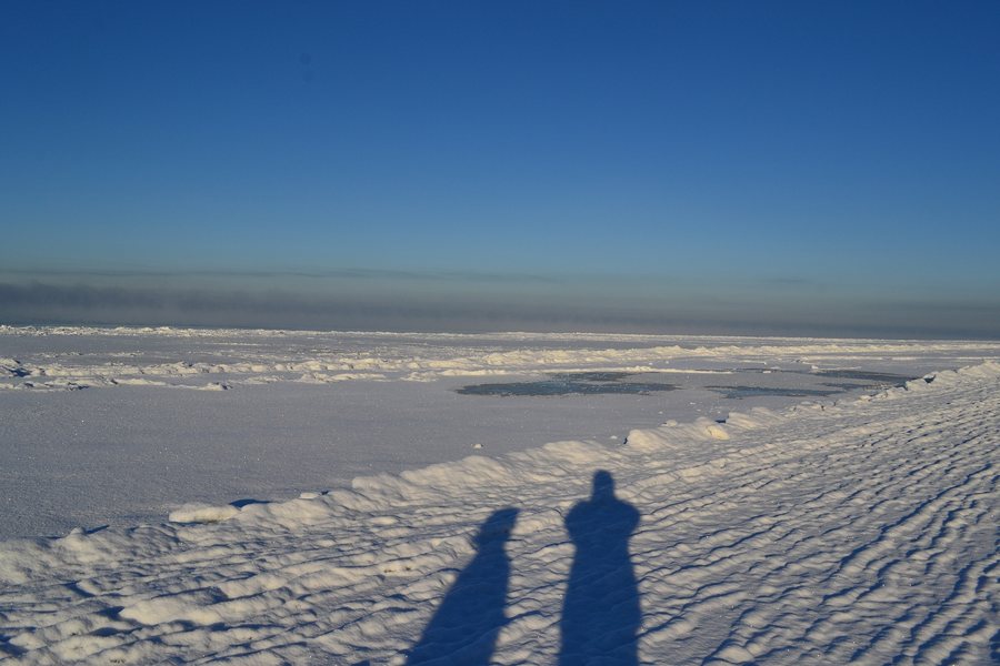 File:Vabaduse 71, Narva-Jõesuu, 29023 Ida-Viru maakond, Estonia - panoramio.jpg
Photo: demonzak via Wikimedia Commons, CC BY 3.0
File:Vabaduse 71, Narva-Jõesuu, 29023 Ida-Viru maakond, Estonia - panoramio.jpg
Photo: demonzak via Wikimedia Commons, CC BY 3.0
The Kurtna Hiking Trail offers a particularly striking nature experience: it follows the shores of eleven lakes and provides opportunities for swimming and fishing. This means the trail can be viewed not only as a hiking destination but also as a connection between different waterscapes. For shorter nature observations, the Kotka Hiking Trail is suitable, with its 1.5-kilometre section through Rüütli Bog; the entire trail is eight kilometres long.
Wildlife observation is another possible focus. In Alutaguse National Park, you can observe bears from a safe distance in specially built observation huts. This is a clearly defined experience that differs from the freely accessible trails, lakes and viewpoints in the region.
Which hiking trails suit different plans?
The Kotka Hiking Trail takes you through fens, transitional bogs and sandy ridges formed from glacial deposits. The trail also includes 300 metres of wooden boardwalk, three footbridges and twelve small information boards. Those looking for a compact route with several orientation points will find a different trail structure here than on longer routes.
The Aidu Hiking Trail passes through the mining area of a disused quarry. It runs over the high embankment slopes of transport routes and past flooded mining areas; one of these areas is crossed by ferry. The trail is designed as a loop, starts and ends at the Aidu-Nõmme fire pit, and is marked in blue on the trees. It therefore combines an unusual landscape with a clearly described route.
The Uljaste Hiking Trail takes you to Lake Uljaste, an esker, a bog and a primeval forest. At 95.2 metres, the Uljaste esker is the highest natural point in Ida-Virumaa. Selisoo, in turn, features a raised bog with bog pines, pools and a well-developed system of bog hollows. The Selisoo Hiking Trail passes through transitional bog, open raised bog and wooded bog, making these different bog types accessible to visitors.
On the Poruni Hiking Trail, the route passes through primeval forest along the banks of the Poruni River to the Narva River and back. The route offers either a ten-kilometre out-and-back trail or a 2.5-kilometre loop. There is a car park and an information board at the start and end point. The different lengths help you assess the scope of this excursion in advance without reducing the options to a single route.
Where can you see cliffs, waterfalls and distinctive landscapes?
The Ontika Landscape Reserve contains the highest section of the North Estonian Klint, reaching up to 55.6 metres in height. It is also home to the 26.1-metre-high Valaste Waterfall, considered the highest waterfall in Estonia. The 1.5-kilometre Valaste Educational Hiking Trail showcases natural features associated with the North Estonian Klint and its cliff forests.
The Pangametsa nature area has a viewing platform and stairs at Valaste Waterfall. This makes it possible to combine the area’s changes in elevation with a short educational hiking trail. The Kivisilla Waterfall offers a different waterfall landscape: it is easy to observe and access, drops down over several high steps, and a staircase leads from its foot to the seashore.
The Aluoja waterfall cascade consists of five larger steps. Before descending into the Pühajõe Valley, the Mägara Stream forms a canyon approximately 700 metres long and about 10 metres deep. Langevoja Waterfall also has a rest area and fire pit suitable for picnics. These places complement the longer hiking trails with shorter nature destinations, each featuring its own distinctive landscape.
What does the coast offer families and those seeking views?
Narva-Jõesuu Beach stretches for almost ten kilometres along the Gulf of Finland and is bordered by pine forest. The shallow water extends far out from the shore, making swimming pleasant for families with children. Narva-Jõesuu therefore forms a clear contrast to the bog and forest trails inland.
Narva-Jõesuu Lighthouse stands at the mouth of the Narva River, where it flows into the Gulf of Finland, and has served as a navigational aid for ships for more than a century. Its open platform is over 30 metres high. From there, the view extends over the resort town, harbour, beach stretching for several kilometres and the opposite shore.
In Oru Park, you can walk along well-marked and well-maintained paths. You can also explore the Hõbeallika Cave and enjoy views of the sea and the sunset at the Swallow’s Nest.
Which museums and cultural sites are worth planning in more detail?
The Vaivara Sinimäed Museum offers a historical educational trail focusing on military fortifications from three periods in the Blue Mountains. At the Iisaku Parish Museum, the permanent exhibition focuses on the culture of the Votes, who historically shaped the Alutaguse region. The museum also includes a nature section with stuffed animals and birds from Alutaguse.
The Sillamäe Museum presents the history and development of the city in six exhibition halls. The mineral room explains the formation of dolomite, limestone and granite in Estonia and offers the opportunity to view gemstones. The museum’s themes therefore range from regional history to geology.
Kuremäe Convent was founded in 1891 and is the only currently functioning Russian Orthodox nunnery in Estonia. The site therefore combines a specific founding date with a religious function that continues to this day. For planning purposes, it is also important to note that the churches in the convent complex are otherwise closed to the public, and visitors can arrange guided tours with the nuns to see them.
Where is the mining history particularly vivid?
The Estonian Mining Museum has a processing plant that explains the journey of oil shale, energy production and future developments in the energy sector. The museum’s crash course is a 1.5-hour underground tour that descends eight metres into the tunnels. It includes insights into mining equipment and a ride on an underground mining train.
The culinary side of this museum is also unusual: at the underground restaurant, miners’ soup and miners’ bread with salo are served on a table that moves along rails. Booking this meal at least two days in advance is required. The motocross centre at Kiviõli Adventure Centre has Estonia’s first World Championship track; it is 1,950 metres long and has an elevation difference of 26 metres.
What connections are available from Narva?
Narva is approximately two hours and 20 minutes from Tallinn by train. This approximate travel time provides initial guidance for planning your journey. From Narva, Sillamäe, Narva-Jõesuu, the Estonian Mining Museum and Oru Park can be reached by bus as day trips.
When choosing a hotel or other accommodation in Ida-Viru, you can therefore first decide which combination of coast, museums, mining, hiking trails and nature observation should be the focus of your stay. The train and bus connections provide a concrete framework for planning trips based in Narva and excursions to other destinations. For different priorities, accommodation closer to the particular natural or cultural destinations planned may be more practical; the variety of excursion destinations does not support a blanket choice of location.
Which places can you explore further in the region?
For regional orientation, you can also visit the pages for Lohusuu, Vaivara, Alajõe, Toila Parish, Illuka, Maidla Parish, Aseri, Sonda, Tudulinna, Avinurme, Kiviõli, Valaste, Mäetaguse, Jõhvi, Lüganuse, Iisaku, Kohtla Parish, Kalvi, Kuremäe, Sillamäe, Mäetaguse, Kohtla-Järve, Toila, Narva-Jõesuu, Aseri, Jõhvi and Narva.
FAQ
What route options are available on the Poruni Hiking Trail?
You can choose between a ten-kilometre out-and-back trail and a 2.5-kilometre loop.
What does the Aluoja waterfall cascade offer?
The cascade consists of five larger steps. Before descending into the Pühajõe Valley, the Mägara Stream forms a canyon approximately 700 metres long and about 10 metres deep.
Is there a place to take a break at Langevoja Waterfall?
Yes. Langevoja Waterfall has a rest area and fire pit suitable for picnics.
What does the meal at the underground restaurant include?
Miners’ soup and miners’ bread with salo are served on a table that moves along rails. Booking the meal at least two days in advance is required.
Can you bathe in the Holy Spring at Kuremäe Convent?
Yes, bathing is permitted in the Holy Spring at Kuremäe Convent.
How can the churches in the Kuremäe convent complex be visited?
Visitors can arrange guided tours with the nuns. Without such a tour, the churches are closed to the public.
Back to the main travel overview: Estonia.

