
Discover Dituva
Accommodation in Dituva
Dituva lies on the right bank of the Minija. Its connection to the river, bridges and layered school history give the town many facets. Here you can find guidance for planning your trip and decide whether Dituva matches your interests.
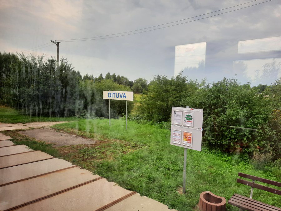
Quick facts about Dituva
- Dituva lies on the right bank of the Minija.
- The town is divided into Senoji Dituva and Naujoji Dituva.
- Dituva lies along a 120-kilometre water route on the Minija.
- Local points of interest include a pedestrian suspension bridge and a school history spanning several centuries.
Where is Dituva located on the Minija?
The Minija is a good starting point for locating Dituva geographically: the town lies on its right bank. The division into Senoji Dituva and Naujoji Dituva is also useful for orientation. The two parts of town are called Senoji Dituva and Naujoji Dituva.
A water route on the Minija also passes through Dituva. It is 120 kilometres long in total. If you are comparing destinations along the river, you can consider Dituva as one stop on this larger route.
What bridges and river views are there?
Dituva has a pedestrian suspension bridge. A suspension bridge connects the town with the villages of Butkai and Rokai. From a rope-suspended “monkey bridge” in Naujoji Dituva, you can look out over the banks of the Minija. Several local features stand out: a pedestrian bridge, a connection to two villages and views of the riverbank.
If you would like to visit a bridge, check its current access and condition beforehand. This will help you plan the stop based on the situation at the site.
What does Dituva’s school history tell us?
Around 1862 to 1864, a larger two-class school was built in Dituva because the number of pupils had risen sharply. The present-day school building is dated to the second half of the 19th century based on its architecture.
One of the oldest schools in the Klaipėda region, dating from 1736, has been preserved in Senoji Dituva. This date adds to the history of the larger school building from the 19th century.
The brothers Gustav and Ludwig Kurschat are also associated with Dituva. They were siblings of the linguist Friedrich Kurschat, who was a professor in Königsberg, and once taught in Dituva. The town’s history thus brings together school construction, early educational institutions and the lives of several teachers.
How can you plan a visit to Dituva?
The open-air weekend market Dituvos turgus is a recurring market associated with Dituva. If you plan to visit, check in advance whether and when the market will be open during your stay.
Your interests can be a starting point when looking for hotels: would you like to discover Dituva mainly through its river and bridges, or are you particularly interested in its school history? These priorities can help you compare the town with other destinations before choosing accommodation.
Discover more destinations: Juodkrante, Rusnė, Kintų Seniūnija, Šilutė, Smilgynai, Kretingalė, Vileikiai, Liaunai.
FAQ
Which parts of town make up Dituva?
Dituva consists of Senoji Dituva and Naujoji Dituva.
How long is the water route on the Minija?
The route is 120 kilometres long in total; Dituva lies along it.
Is the exact construction year of the present-day school building known?
Based on its architecture, the building is historically dated to the second half of the 19th century.
For the broader travel overview: Klaipėda County.

