
Ginučiai: Trails and Village History
Accommodation in Ginučiai
Ginučiai can be explored from two perspectives: the distinctive layout of the street village and hiking trails with different time frames. There is also the watermill, which was in operation until 1968. The following information about the village and routes will help you plan a stay around your interests.
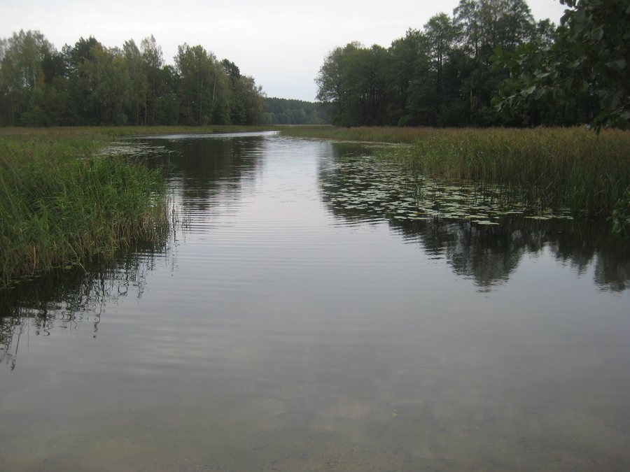
Ginučiai at a glance
- Ginučiai is a street village: the houses face the street with their gables, while the farm buildings stand behind them.
- The challenging, one-day P6 “Palūšė–Ginučiai” is 16 km long and takes five hours; it runs from Palūšė to Ginučiai.
- A half-day circular hiking trail starts at the watermill in Ginučiai and runs mostly along forest paths.
- The watermill was in operation until 1968.
- The Ginučių (Papiliakalnės) hill is 1.3 km south of the village, between Lakes Linkmenas and Ūkojas.
What defines the street village?
The arrangement of the houses gives Ginučiai a clear spatial structure: the houses were built on both sides of the street, with their gables facing it. The farm buildings stand behind them. This layout places the residential and farm areas directly alongside one another. It offers a concrete way to explore the village’s history, distinct from looking at individual historic buildings.
The P6 route description also reflects this layout. In the village, you will come to a T-junction; turn right there and continue along the village’s main street. The watermill is about 600 m farther on. This distance is part of the route description and provides a practical reference point for following the trail.
Which hike fits your timeframe?
The two trails differ in their stated duration. The P6 “Palūšė–Ginučiai” is described as a challenging, one-day route. Its 16 km distance and five-hour duration give you a concrete basis for fitting this hiking day into your plans. The direction is also clear: the trail starts in Palūšė and ends in Ginučiai. It is a route between two places, not the circular trail described here.
The second trail is a half-day circular hike that starts at the watermill in Ginučiai and runs mostly along forest paths. Its circular route and shorter timeframe set it apart from the one-day P6. This information can help you choose between a hike that starts in Palūšė and ends in Ginučiai and a circular trail that starts in the village. Check the trail conditions before setting out on either route.
How do the watermill and village history fit together?
The watermill is both a reference point in the route descriptions and part of the village’s history. The circular trail starts at the mill; on the P6, the directions lead from the T-junction in the village along the main street for about 600 m to the mill. The two routes can therefore be distinguished by a shared landmark without treating their paths as the same.
The date is important for understanding the mill’s history: it was in operation until 1968. When planning your stay, consider the mill alongside the specific route information.
What is south of Ginučiai?
Nearby is the Ginučių (Papiliakalnės) hill with a settlement, 1.3 km south of Ginučiai between Lakes Linkmenas and Ūkojas. It is designated a state-protected historical monument. Its location between the two lakes and to the south helps place the hill in the landscape, without equating it with either hiking trail.
The Ginučių hill and neighboring Papiliakalnės hill are identified with Linkmenų Castle, dating from the 13th to 15th centuries. The castle was part of Lithuania’s central defense system. This identification offers another historical perspective on the area around Ginučiai: alongside the village’s traditional layout and the watermill that operated until 1968, the hills are interpreted in connection with medieval defense.
How can you factor the trails into your accommodation plans?
If you are looking for a hotel in Ginučiai, the different hiking options can help shape your schedule. The P6 is a challenging day hike starting in Palūšė and ending in Ginučiai; the circular trail is described as a half-day hike starting at the mill. So first consider which route will play the greater part in your stay.
The village’s history may also influence your choice of destination: Ginučiai has a distinctive village layout, a historically operated mill, and a nearby hill with protected monument status. The hiking information adds two clearly different types of route. Taken together, these details provide a factual basis for deciding whether the village suits your travel interests.
Discover more destinations: Kazitiškis, Mielagėnai, Nastazavas, Palūšė, Švedriškė.
FAQ
Where does the P6 “Palūšė–Ginučiai” start and end?
The challenging, one-day hiking trail starts in Palūšė and ends in Ginučiai. It is 16 km long and takes five hours.
How does the circular hiking trail differ from the P6?
The circular hiking trail is described as a half-day route. It starts at the watermill in Ginučiai and runs mostly along forest paths. The P6 is a challenging day hike from Palūšė to Ginučiai.
When was the Ginučiai watermill in operation?
The watermill was in operation until 1968.
Where is the Ginučių (Papiliakalnės) hill?
The hill with a settlement is 1.3 km south of Ginučiai, between Lakes Linkmenas and Ūkojas, and is a state-protected historical monument.
For the regional travel overview: Ignalina District Municipality.

.jpg)