
Discover Salakas
Accommodation in Salakas
Salakas combines a varied landscape with an educational trail and an exhibition about the way of life of local people. The trail’s duration can be factored into your plans, while the exhibition offers insights into the region’s history and everyday life.
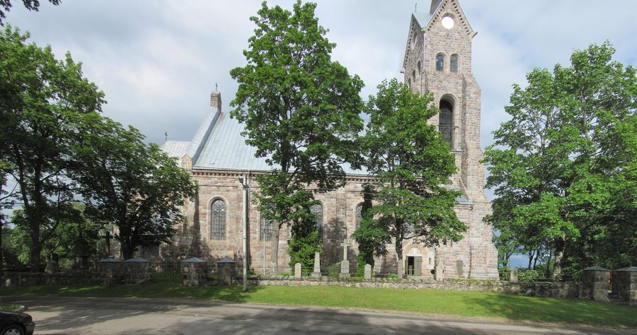
Salakas at a glance
- The Salakas educational trail is a circular route just under 5 km long and takes about 2 hours and 30 minutes.
- The listed starting points are the campsite by Lake Luodis, the Gražutė Regional Park Visitor Centre and Luodis’s second site.
- The ethnographic exhibition of the Salakas region covers the way of life of local people from the late 19th to the 20th century.
What is the landscape around Salakas like?
Salakas lies on a flat rise. A lake is on one side; the other sides are surrounded by pine forests with spruce trees, hills and valleys. The description of the area therefore includes both an open rise and wooded, varied terrain. The farmsteads east of Salakas extend to Lake Luodis.
These details give you a clear picture of the town’s setting: the lake and farmsteads are part of the surroundings described, alongside forests, hills and valleys. If you are considering Salakas for a stay, you can take the local landscape into account when planning your trip, without treating its different features as a single circular route or a specific trail.
What does the Salakas educational trail offer for planning?
The circular route is just under 5 km long and is estimated to take about 2 hours and 30 minutes. Its length and estimated duration help you fit the outing into your day: you can allow roughly two and a half hours for the route as a separate activity. These details describe two different things—the length of the circular route and the time given for completing it.
The educational trail can be started from any of three listed points: the campsite by Lake Luodis, the Gražutė Regional Park Visitor Centre or Luodis’s second site. This gives you a choice of starting points without requiring you to settle on just one. The key details for your plans are the approximate duration and the choice of these three starting points.
What insights does the exhibition offer?
The ethnographic exhibition of the Salakas region covers the period from the late 19th to the 20th century. It presents the way of life of the people of Salakas, their living conditions and household items. The topics also include the character of the town’s residents, national holidays, and traditional crafts and trades.
The exhibition also covers notable figures from the town and national minorities. Its scope ranges from everyday life and living conditions to customs, work and the people connected with the town. If you take both landscape and culture into account when choosing a destination, you can consider the exhibition as a distinct cultural highlight alongside the educational trail.
If you’d like to discover more destinations: Dubingiai, Sudeikiai, Molėtai, Antalgė, Giedraičiai, Rimšė, Bičionys and Antazavės Seniūnija.
FAQ
How long is the Salakas educational trail?
The circular route is just under 5 km long; an estimated 2 hours and 30 minutes is given for the trail.
Where can the educational trail be started?
The listed starting points are the campsite by Lake Luodis, the Gražutė Regional Park Visitor Centre and Luodis’s second site.
What topics does the ethnographic exhibition cover?
It presents, among other things, the way of life and living conditions of the people of Salakas, household items, holidays, traditional crafts and trades, notable figures and national minorities.
For the broader travel overview: Utena County.

.jpg)