
Vilnius District Municipality: Hotels and accommodations
Accommodation in Vilnius District Municipality
Landscape
Vilnius District Municipality encompasses parts of the Aukštaitian and Medininkai Highlands. Near Medininkai, Aukštojas is identified as the highest point of the municipality and Lithuania, at 293.8 metres. For travellers seeking distinctive landforms as part of their journey, this high point is a specific point of reference.
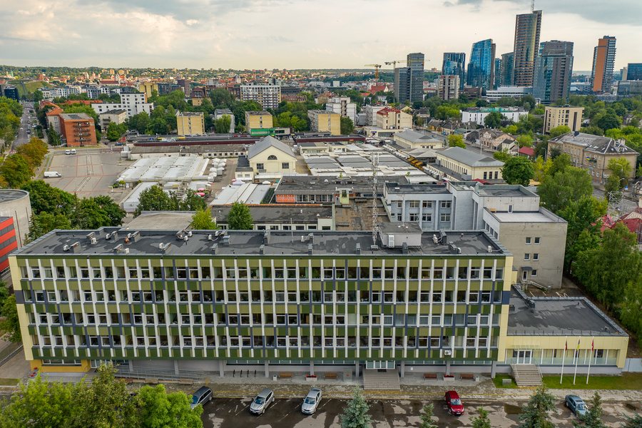 Vilnius District Municipality administration building
Photo: Augustas Didžgalvis via Wikimedia Commons, CC BY-SA 4.0
Vilnius District Municipality administration building
Photo: Augustas Didžgalvis via Wikimedia Commons, CC BY-SA 4.0
You can book a hotel in Vilnius District Municipality.
Geographical setting
Vilnius District Municipality is located in southeastern Lithuania, in Vilnius County, and borders Belarus to the east.
The municipality encompasses the Neris, several tributaries and smaller rivers, and 36 lakes of national significance, including Lakes Riešė, Širvys and Ilgutis.
Orientation
The European Geographical Centre is described as being 26 km north of Vilnius, near the village of Purnuškės and Bernotai Hillfort.
The recorded climate averages are approximately −4.5 °C in January and 17 °C in July; annual precipitation is about 650 mm.
Valakampių Miško Parkas, Sapieginės Miško Parkas, Pavilnio Miško Parkas, Markučių Miško Parkas and Kalnas Barsukynė are located in the area surrounding Vilnius District Municipality. Juozapinė Hill and Aukštasis kalnas are located in the wider regional area.
The municipality surrounds the capital Vilnius on three sides.
For further local orientation, you can go directly to the following pages: Bildžiai, Vilkiškės, Buivydiškės, Galgiai, Sudervė, Vilnius, Paberžė, Verkšionys, Gineitiškės, Skirlėnai, Dūkštos, Grigaičiai, Zujūnai.
For the higher-level travel overview: Vilnius County.

