
Pogorzany – Memorial Site and Hiking Route
Accommodation in Pogorzany
Pogorzany combines a specific memorial site with a landscape that can be explored on foot. The village lies almost entirely on the northeastern slope of Ciecień; a 10.4-kilometre tour runs through Pogorzany to Przełęcz nad Grodziskiem. The historic sites and the route offer different points of interest to help you plan your visit.
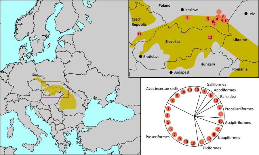 File:Oligocene bird fossil sites (Carpathian Arc).png
Photo: Z. M. Nochenski, T. Tomek, T. Szybiak & K. Wertz via Wikimedia Commons, CC BY 4.0
File:Oligocene bird fossil sites (Carpathian Arc).png
Photo: Z. M. Nochenski, T. Tomek, T. Szybiak & K. Wertz via Wikimedia Commons, CC BY 4.0
Pogorzany at a glance
- Pogorzany lies almost entirely on the northeastern slope of Ciecień.
- In the Gmina Jodłownik, Ciecień (829 m) and Kostrza (720 m) are the highest mountains.
- The memorial obelisk to the victims of the pacification in Smykań was unveiled on 18 May 1986.
- The tour from Szczyrzyc through Pogorzany to Przełęcz nad Grodziskiem is listed as an hour and a half and 10.4 km.
What does the memorial site commemorate?
In September 1944, German troops murdered 42 people during the pacification operation in Smykań. Smykań is a hamlet of Pogorzany; 18 of those murdered were burned alive in a barn. The execution units also burned down 17 houses. The memorial obelisk to the victims stands in Pogorzany and was solemnly unveiled on 18 May 1986.
How do you find the monument?
Use the Szczyrzyc–Dobczyce road as a reference point. In Pogorzany, turn left after a wooden bus shelter onto a narrow paved road. The monument to the victims of the pacification in Smykań is 50 m from the main road. Use these details to find your way, and check current road conditions before setting out.
What is the landscape around Pogorzany like?
Pogorzany lies almost entirely on the northeastern slope of Ciecień. Ciecień (829 m) and Kostrza (720 m) are the highest mountains in the Gmina Jodłownik.
Another way to experience the area is the hour-and-a-half tour from Szczyrzyc through Pogorzany to Przełęcz nad Grodziskiem. The route is 10.4 km long. It begins with a visit to Diabli Kamień and the hermitage in Szczyrzyc, then continues to a scenic mountain pass on the southern slopes of Grodzisko. From there, you can enjoy a panorama of Pasmo Łysiny i Lubomira in Beskid Średni. Check current trail conditions locally before planning your tour.
What is known about the hermitage of Saint Benedict?
The hermitage of Saint Benedict lies below Diabli Kamień. It was founded in the early 19th century.
Discover more destinations: Podobin, Kasina Wielka, Mszana Dolna, Limanowa, Szczawa, Mszana Górna, Poręba Wielka and Porąbka.
FAQ
Where is the memorial obelisk to the victims of Smykań?
The memorial obelisk stands in Pogorzany. It was solemnly unveiled on 18 May 1986.
How long is the tour through Pogorzany?
The tour from Szczyrzyc through Pogorzany to Przełęcz nad Grodziskiem is listed as 10.4 km and an hour and a half.
Where is the hermitage of Saint Benedict?
It lies below Diabli Kamień and was founded in the early 19th century.
For the overview of the wider region: Limanowa.

.png)