
Wolbrom: Routes, Market Tradition and Remembrance
Accommodation in Wolbrom
If you are comparing Wolbrom as a travel destination, the routes at the Zalew, the landscape of the Kraków-Częstochowa Upland and the town’s history offer different points of reference for planning your trip. Here you will find an overview of the main local topics.
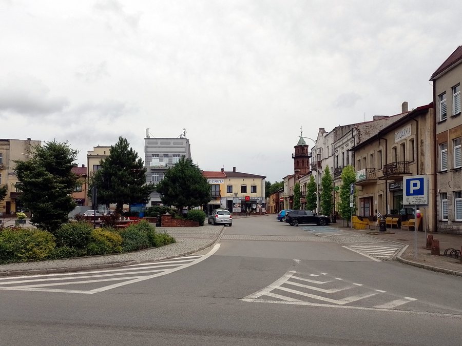
Wolbrom at a glance
- The town and municipality of Wolbrom are located on the Kraków-Częstochowa Upland, colloquially known as the Jura, in the narrowest section of the Brama Wolbromska.
- A 2.5-kilometre walking and cycling path runs around Zalew Wolbromski in the municipality and is illuminated at night.
- A 23.7-kilometre cycling route in the municipality connects to the path around the Zalew.
- The tradition of Thursday markets dates back to 1485 and continues to this day.
What routes can help you plan your trip?
The path around Zalew Wolbromski is 2.5 kilometres long and intended for pedestrians and cyclists. Its nighttime lighting is a specific feature of this route. The 23.7-kilometre cycling route, which connects to the path by the lake, is a separate route. The two lengths therefore describe different routes: the loop around the Zalew and the longer cycling route that connects to it. If you are planning your time on a bike, you can use this distinction as a guide without adding the route lengths together to make one tour.
What can you find at Zalew Wolbromski?
At Zalew Wolbromski in the municipality of Wolbrom, there is a car park, a playground with fitness equipment and a watersports equipment rental service. These named facilities are located by the same lake as the walking and cycling path. If access to watersports equipment is important to your plans, check with the rental service before your visit to confirm availability.
How is Wolbrom situated in the landscape?
Its location on the Kraków-Częstochowa Upland gives the town’s description a regional context. Jura is the colloquial name for this upland. Wolbrom is also situated in the narrowest section of the Brama Wolbromska. When comparing travel destinations, you can thus distinguish the town’s location from the specific routes at the Zalew and the cultural topics.
What history and traditions will you encounter?
A memorial plaque on Ulica 20 Straconych commemorates the place where twenty people were shot in 1943. They had been arrested during a street roundup. The plaque thus refers to a specific historical event and a named location in Wolbrom. For your plans, this is a distinct and solemn historical point of interest alongside the routes and the lake.
The market tradition has a different place in time: Thursday markets date back to 1485 and continue to this day. Together with the memorial site, these details reflect different aspects of the town’s history: a tradition that continues today and the remembrance of the victims of 1943. If you are considering culture and history as part of your trip, you can look at these topics separately rather than combining them into a single experience.
FAQ
How long is the path around Zalew Wolbromski?
The walking and cycling path around the Zalew is 2.5 kilometres long and illuminated at night.
How does the longer cycling route connect to the path at the Zalew?
The 23.7-kilometre cycling route in the municipality of Wolbrom connects to the path around the Zalew.
What does the memorial plaque on Ulica 20 Straconych commemorate?
It commemorates twenty people who were shot there in 1943 after being arrested during a street roundup.
To the main travel overview: Olkusz.

