
Sulejów: Cistercian History and Landscapes
Accommodation in Sulejów
Sulejów brings together distinctive architectural and ecclesiastical history with a connection to the landscape along the Pilica. Historic sites, the division of the protected area, and the water route offer different starting points for planning your trip.
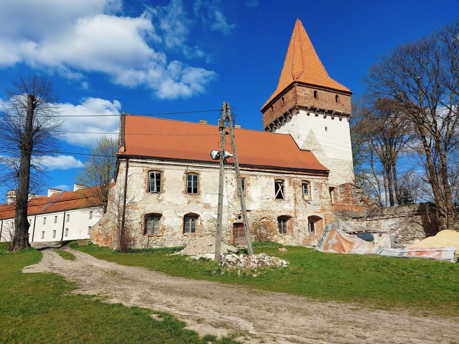
Sulejów at a glance
- The three-aisled Neo-Gothic Church of St. Florian was built in 1903 to a design by Feliks Nowicki, on the site of earlier church buildings dating from 1184 and 1640.
- The Chapel of the Blessed Virgin Mary was founded by the Ligęzka family in 1644; its interior is designed in the Gothic and Rococo styles.
- The so-called Sulejów Supplication was adopted at an assembly in Sulejów in 1318.
- The northern part of the Dolina Środkowej Pilicy Natura 2000 site, from Skotniki to Sulejów, lies within Sulejowski Landscape Park; the southern part is in its buffer zone.
- Two canoe stations were established on Podkurnędz and Klasztorna streets. They were part of a designated 74-kilometre water route from Maluszyn to Sulejów.
What historic traces shape Sulejów?
The dates 1184 and 1640 refer to earlier church buildings on the site of the Church of St. Florian; the Neo-Gothic church was built there in 1903. This makes it possible to distinguish the earlier buildings chronologically from the later church. “Three-aisled” describes the division of the church interior into three aisles, while the design by Feliks Nowicki identifies a specific creator of the Neo-Gothic church.
The Chapel of the Blessed Virgin Mary offers another architectural point of comparison: the Ligęzka family founded it in 1644, and its interior is designed in the Gothic and Rococo styles. This distinguishes its design from that of the Neo-Gothic Church of St. Florian.
The Cistercian abbey complex is also part of the town’s cultural character and is designated a Polish Historic Monument (Pomnik Historii). The Cistercian abbey, with the churches of the Blessed Virgin Mary and St. Thomas Becket in Sulejów-Podklasztorze, is also one of seven sites on a route in the Łódź Voivodeship. Designation as a Historic Monument and inclusion on a route are two distinct classifications.
Another historical topic is the assembly held from 18 to 25 June 1318. Representatives of the Polish knighthood and clergy jointly adopted the so-called Sulejów Supplication there, a request to Pope John XXII for the restoration of the Kingdom of Poland. Thus, alongside architectural history, there is a precisely dated historical event and a specific reason for it.
How do the landscape and water route differ?
When considering the Natura 2000 site, it is important to distinguish between its sections: the northern part, from Skotniki to Sulejów, lies within Sulejowski Landscape Park, while the southern part is in its buffer zone. If you are exploring the natural area, keep this geographical division in mind rather than describing both sections in the same way.
The canoe stations and water route offer a different perspective. Podkurnędz and Klasztorna streets identify the locations of the two stations in Sulejów; the 74 kilometres refers to the water route from Maluszyn to Sulejów. This puts specific locations within the town alongside a longer route. If you are planning a canoe trip, check whether the stations are currently operating in advance.
Which priorities can help with your accommodation search?
When looking for a hotel in Sulejów, you can first consider whether architectural and monastic history or the landscape and water are more important to your trip. This lets you plan around the topics that interest you locally.
If you are comparing several destinations, you could also consider Łęczno.
Discover more destinations: Wola Krzysztoporska, Wolbórz, Bogusławice, Ręczno, Piotrków Trybunalski, Czerno, Bronisławów.
FAQ
What did the Sulejów Supplication request?
The request adopted at the assembly from 18 to 25 June 1318 was addressed to Pope John XXII and sought the restoration of the Kingdom of Poland.
What are the defining features of the Church of St. Florian?
It is three-aisled and Neo-Gothic. The church was built in 1903 to a design by Feliks Nowicki, on the site of earlier church buildings dating from 1184 and 1640.
How is the Natura 2000 site divided geographically?
The northern part, from Skotniki to Sulejów, lies within Sulejowski Landscape Park; the southern part is in its buffer zone.
What is known about the canoe stations and water route?
The two stations on Podkurnędz and Klasztorna were part of a designated 74-kilometre water route from Maluszyn to Sulejów. If you are planning a canoe trip, check whether the stations are currently operating.
For the broader travel overview: Piotrków County.

