
Wolbórz
Accommodation in Wolbórz
Wolbórz offers plenty to explore during a stay focused on cultural history and outdoor activities. Highlights include the bishop’s palace, the history of firefighting and cycling routes around Zalew Sulejowski. While planning your trip, you can already consider which aspects of the town interest you most.
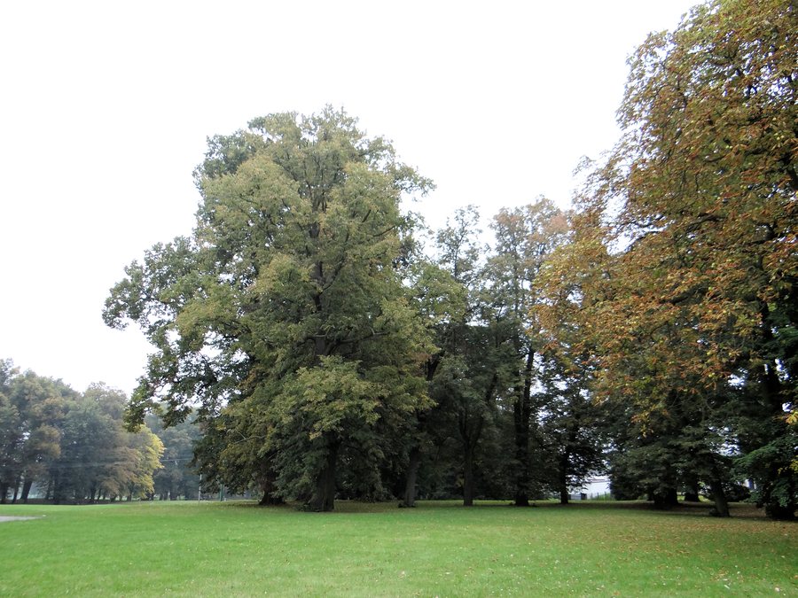 File:220913 Park at Bishops Palace in Wolbórz - 01.jpg
Photo: Jolanta Dyr via Wikimedia Commons, CC BY-SA 3.0
File:220913 Park at Bishops Palace in Wolbórz - 01.jpg
Photo: Jolanta Dyr via Wikimedia Commons, CC BY-SA 3.0
Wolbórz at a glance
The present-day bishop’s palace was built from 1768 to 1773 as a summer residence for the Bishops of Kujawy. St. Nicholas Parish Church stands in the town centre on Jagiellonian Square. One of the cycling routes around the artificial lake Zalew Sulejowski also begins there. Another point of interest is the region’s firefighting history, which has its own historical and educational centre.
What cultural history shapes Wolbórz?
The bishop’s palace was built by Bishop Antoni Ostrowski to a design by the prominent Italian architect Franciszek Placidi. Its original function as a summer residence for the Bishops of Kujawy gives the building a clear historical context. Visitors interested in architecture and church history will find a specific starting point here for exploring Wolbórz’s cultural heritage.
St. Nicholas Church is also part of the town’s history: on 6 July 2008, it regained its status as a collegiate church. Along with its central location on Jagiellonian Square, this historic rank is another point of interest for visitors drawn to cultural history. The square also offers connections to the legacy of Andrzej Frycz Modrzewski.
What memorial sites are there on Jagiellonian Square?
A monument to Andrzej Frycz Modrzewski stands on a green space on Jagiellonian Square. One of the cycling routes around Zalew Sulejowski also begins in the town centre, at the monument on the square.
Another memorial site is a stone obelisk erected in 1953 in honour of the 450th anniversary of Andrzej Frycz Modrzewski’s birth. The historic townhouse at 15 Plac Jagiełły adds to the architectural heritage: it was probably built in 1888. Its current appearance dates to a comprehensive renovation in 1996–1997. The dates therefore distinguish the house’s probable construction from its later renovation.
What can you learn about the region’s firefighting history?
The Pożarnicze Centrum Historyczno-Edukacyjne Ziemi Łódzkiej, also known as the Łódź Region Historical and Educational Firefighting Centre, was established in 2007 in cooperation with the local fire brigade. Items on display include firefighting banners, medals and association awards, diplomas, and certificates for firefighting courses. Uniforms and an extensive helmet collection illustrate the range of the centre’s collections.
The centre’s programme included educational sessions on regional history and on local and Polish firefighting history. Its subject matter therefore goes beyond equipment to encompass the history of firefighting in a variety of contexts. If you are weighing up what to see, the centre is a distinct itinerary option, especially if you would like to explore regional history through collection items and historical topics.
How can you combine cycling with local history?
Several cycling routes run around the artificial lake Zalew Sulejowski. One begins in central Wolbórz, on Jagiellonian Square by the monument to Andrzej Frycz Modrzewski. Cycling can therefore be a focus of your trip; the stated starting point connects the route to a specific place in the town centre but does not indicate its distance, duration or level of difficulty.
Another landscape feature is an avenue lined with several linden trees about 250 years old, designated a natural monument. These trees offer a different focus from the town’s architectural and historical attractions. If you are weighing up cultural history and nature, you can consider them as distinct themes for your stay.
How does nearby Route 8 help with orientation?
Wolbórz is near Route 8, which connects Warsaw with the southern cities of Wrocław and Katowice. This location is a useful reference point when planning a trip that includes Wolbórz. When choosing accommodation, you can first decide what matters most to you: should the trip focus mainly on cultural and historical sites, or would you also like to include cycling around Zalew Sulejowski? The attractions and cycling route mentioned here offer concrete ideas without specifying a particular area to stay in.
If you would like to compare Wolbórz with other destinations in this section, you can also find Piotrków Trybunalski, Sulejów, Budy, Czerno, Ręczno, Wola Krzysztoporska, Bogusławice and Bronisławów.
FAQ
When was the bishop’s palace built?
The present-day bishop’s palace was built from 1768 to 1773 as a summer residence for the Bishops of Kujawy.
When did St. Nicholas Church regain its status as a collegiate church?
It regained its status on 6 July 2008.
Where does one of the cycling routes around Zalew Sulejowski begin?
It begins in central Wolbórz, on Jagiellonian Square by the monument to Andrzej Frycz Modrzewski.
What does the firefighting centre display?
Exhibits include firefighting banners, medals and awards, diplomas, uniforms and an extensive helmet collection.
For the broader travel overview: Piotrkowski County.

