
Podgorzyn
Accommodation in Podgorzyn
Podgorzyn is a starting point for hiking and cycling trips in the Karkonosze. Choosing where to stay here means considering specific differences: hiking trails lead to different destinations and take about 1.5 to five hours; there is also an oak avenue, fish ponds, and the history of a former tram line.
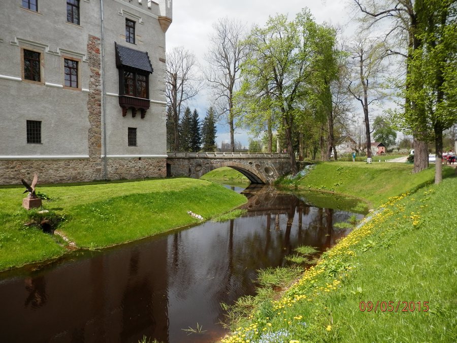 File:Gmina Podgórzyn, Poland - panoramio (6).jpg
Photo: Maks Litwinski via Wikimedia Commons, CC BY 3.0
File:Gmina Podgórzyn, Poland - panoramio (6).jpg
Photo: Maks Litwinski via Wikimedia Commons, CC BY 3.0
Podgorzyn at a glance
Hiking destinations include Przełęcz Karkonoska, Chojnik Castle, and Czarna Przełęcz. Stawy Podgórzyńskie is a picturesque complex of 22 fish ponds on the edge of Podgórzyn. Aleja Dębowa connects Dolny Podgórzyn and Cieplice as a walking and cycling path; a row of more than a hundred-year-old oaks lines the walking route.
Which hiking trails can you compare?
The blue hiking trail from Podgórzyn (Tramwaj pod Skałką) via Przesieka to Przełęcz Karkonoska takes about 3.5 hours. It is possible to continue toward Śnieżka or Wielki Szyszak. Przełęcz Karkonoska is therefore a named destination, while the trail also offers the option of continuing toward two other peaks.
The black hiking trail from Podgórzyn Górny (Tramwaj przy Skałce) has a different starting point and destination: it leads via Zachełmie to Chojnik Castle and takes about 1.5 hours. The blue hiking trail from Podgórzyn Dolny runs via Zachełmie and Jagniątków to Czarna Przełęcz; it is listed as taking about five hours. Starting points, places along the way, destinations, and approximate times give you a concrete basis for distinguishing the described hikes according to your day’s plans.
What is there to discover beyond the hiking trails?
Stawy Podgórzyńskie offer something different from the trails to the mountain passes and castle: on the edge of Podgórzyn lies a complex of 22 fish ponds. Aleja Dębowa, by contrast, is described as a walking route lined with a row of more than a hundred-year-old oaks. It also connects Dolny Podgórzyn and Cieplice as a walking and cycling path. If you are not planning your trip solely around hiking destinations, this also gives you a named route for walks and cycling trips.
Rozpadlisko Skalne is also located in the vicinity of Podgórzyn. The narrow rock crevice is 30 metres long and runs between stone walls several metres high. This makes it a scenic contrast to the fish ponds and the oak-lined Aleja Dębowa, without requiring these places to be combined into a single route.
What story does the tram car tell?
On the edge of Podgórzyn, at “Pod Skałką,” a historic tram car stands at the former terminus of the Cieplice–Podgórzyn tram line. It is a type 5N car, manufactured by “Konstal” in Chorzów in 1960. The former tram line was discontinued in 1964. The car recalls this transport history; as a local landmark, it adds a specific historical reference to the hiking and landscape themes.
How do you choose Podgorzyn as a place to stay?
If you are looking for a hotel in Podgorzyn, base your choice of location on the interests that matter for your trip.
If you would like to compare other destinations, you can also find Trzcińsko, Kowary, Komarno, Janowice Wielkie, Marczyce, Ściegny, Milków and Dziwiszów here.
FAQ
How long does the blue hiking trail to Przełęcz Karkonoska take?
The trail from Podgórzyn (Tramwaj pod Skałką) via Przesieka to Przełęcz Karkonoska takes about 3.5 hours. It is possible to continue toward Śnieżka or Wielki Szyszak.
How long does the hiking trail to Chojnik Castle take?
The black hiking trail from Podgórzyn Górny (Tramwaj przy Skałce) leads via Zachełmie to Chojnik Castle and takes about 1.5 hours.
What is located at “Pod Skałką”?
A historic type 5N tram car stands there at the former terminus of the Cieplice–Podgórzyn tram line. It was manufactured by “Konstal” in Chorzów in 1960. The former line was discontinued in 1964.
For the broader travel overview: Jeleniogórski.

.jpg)