
Wola Ducka
Accommodation in Wola Ducka
Wola Ducka combines a distinctive natural landscape with a long local history and several walking and cycling routes. The Stok stream flows through wooded dunes, while a yellow cycling route passes through the village.
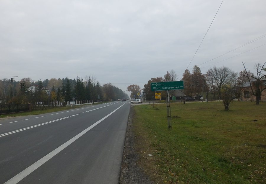
Wola Ducka at a glance
- The Stok stream rises near the built-up area and, after flowing through wooded dunes, empties into the Świder.
- Wola Ducka was founded in 1473 by settlers from the now-defunct village of Duda near Karczew.
- The yellow “Od dworu do dworu” cycling route runs from Glinianka through Wola Ducka and back to Glinianka.
What characterizes the landscape of Wola Ducka?
The Stok rises near the built-up area of Wola Ducka. Its deep streambed runs through wooded dunes before the stream empties into the Świder. The source, course and mouth are therefore distinct points of interest in the landscape. If you like comparing natural features when choosing a destination, the stream’s course provides a specific point of reference.
What historical connections are there?
The village’s founding dates back to 1473, when settlers from Duda near Karczew, a village that no longer exists, founded Wola Ducka. Another historical site lies nearby, to the east of the village. There, surrounded by forests, stands the “Różyce” manor house, built around the turn of the 20th century. It lies between the remains of a landscape park and a pond complex; both were part of the former residential estate. The village’s founding and the manor house point to distinctly different periods and offer two different historical points of interest for planning your trip.
Which routes are important for planning?
In 2024, the municipality announced the completion of a section of pedestrian and cycle path starting from Trakt Lubelski in Wola Ducka. It is 1,267.06 meters long. A pedestrian and cycle path for residents runs from Trakt Lubelski, formerly National Road No. 17, toward Wola Karczewska and is over 1,200 meters long. Its completion was announced in December 2024. The figures vary in precision: one gives an exact length, while the other states a length of more than 1,200 meters. If you plan to use the path specifically designated for residents, check locally that it is open for use.
The yellow “Od dworu do dworu” cycling route runs from Glinianka through Wola Ducka and back to Glinianka. The Wiązowna municipality also has the red-marked “Centralny” (WSR 01R) between Wiązowna and Glinianka, the black-marked “Duchnowski łącznik” (WSR06) between Wiązowna and Duchnów, and the yellow-marked “Szlak partyzancki” (WSR 04Y) between Kopki and Kąck. The Wiązowna municipality marked four cycling routes and put them into operation in 2019 and 2021. Check current route conditions before setting out.
How can you plan your journey and accommodation?
Stops for lines A1 and K2 are listed in Wola Ducka; check the current timetable before travelling. This lets you tailor your choice to the interests that shape your stay.
Discover more destinations: Otwock Mały, Nowe Kościeliska, Otwock Wielki, Glinianka, Lipowo, Otwock, Wiązowna Kościelna, Sobienie Jeziory.
FAQ
What is the course of the Stok stream near Wola Ducka?
It rises near the built-up area, flows through wooded dunes in a deep streambed and empties into the Świder.
Which cycling route passes through Wola Ducka?
The yellow “Od dworu do dworu” cycling route runs from Glinianka through Wola Ducka and back to Glinianka.
Which route numbers are listed for stops in Wola Ducka?
Lines A1 and K2 are listed for stops in Wola Ducka. Check the current timetable before travelling.
Go to the main travel overview: Otwock.

