
Kędzierzyn-Koźle County: Culture, Waterways and Cycling
Accommodation in Kędzierzyn-Koźle County
Waterways, cycling routes and historic sites shape the experiences described around Kędzierzyn-Koźle. When choosing accommodation, it helps to decide first whether you want to focus mainly on the city’s history, cycling tours or the leisure facilities at Wodne oKKo.
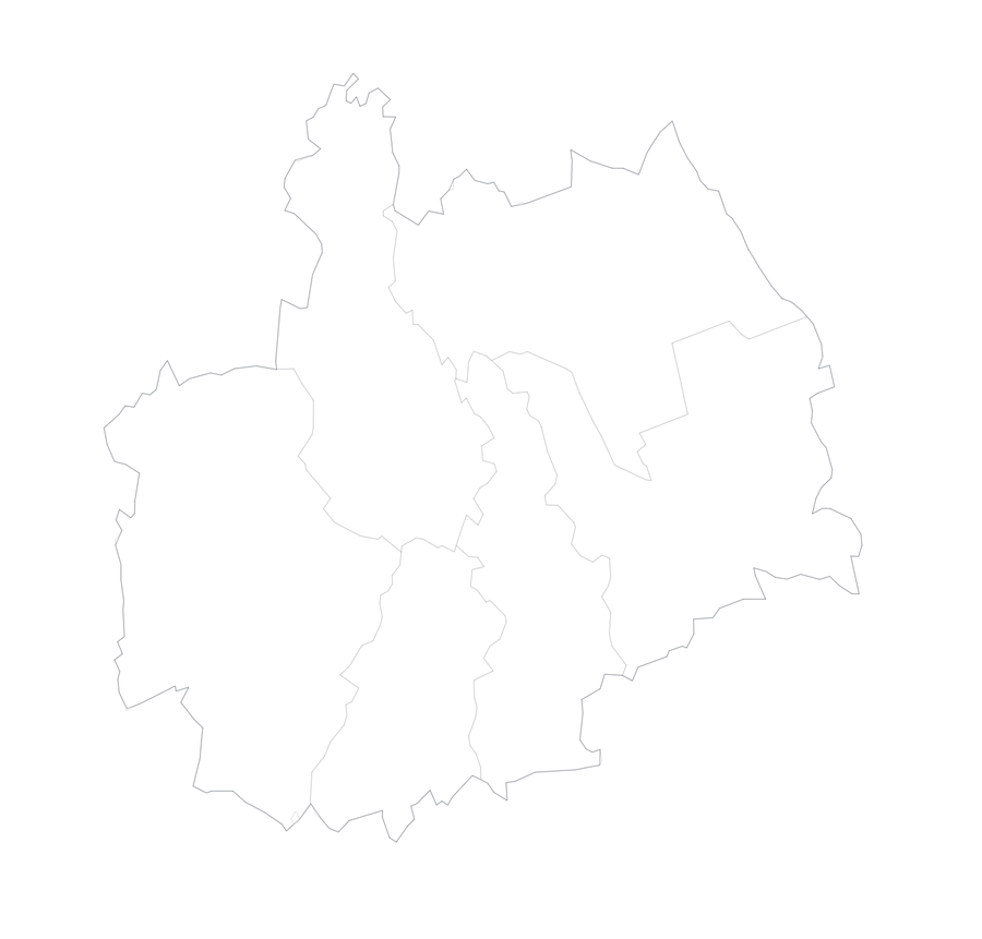
Kędzierzyn-Koźle County at a glance
Kędzierzyn-Koźle is at the heart of the city destinations described here. Several rivers and canals run through it, and there are designated cycling and walking routes. Cultural highlights include Koźle’s Old Town and several museums. For travel, Kędzierzyn-Koźle is close to the A4 motorway; an international railway line and the Oder Waterway also run through the city.
What makes the waterways distinctive?
In addition to the Oder, the Kłodnica, the Gliwice Canal, the Kłodnicki Canal and the Kędzierzyński Canal flow through Kędzierzyn-Koźle. The smaller Młyńska, Golka, Lineta and Liwela rivers also flow through the city. The Kłodnicki Canal was built between 1792 and 1812; the section running through the city is among the best preserved. The city is therefore where several waterways meet a canal with a long history.
A cruise on the Oder and Kłodnicki Canal, including passage through a lock, is described as a tourist attraction in Kędzierzyn-Koźle and the surrounding area. Those interested in the waterways can also find specific information about the course of the Kłodnicki Canal and its history. These topics can be considered as a separate focus for your trip, alongside the city routes.
Which cycling and walking routes are featured?
The “Dookoła Kędzierzyna-Koźla” route passes through numerous large woodland areas within the city. It is available in three versions: 19.7 km, 28.1 km and 47.8 km. If route length is a key factor in your choice of tour, you can compare these three options.
Another option is the 40.6 km “Wzdłuż Odry na południe” route. It follows less-travelled municipal roads and well-preserved dirt tracks, and can be cycled on touring or leisure bikes. The two routes differ both in their stated lengths and in the types of roads and tracks described.
Kędzierzyn-Koźle has four designated CityWalk walking routes. The accompanying signs are supplemented by audio guides, which can be borrowed from the city library at Rynek 3. The “Szlakiem II wojny światowej” walking route starts at the “Śląskiej Bitwy o Paliwo Blechhammer – 1944” Museum.
What historic sites and museums are there?
Koźle’s Old Town retains its medieval layout: a rectangular market square lies at its centre, and gardens were laid out on the site of former fortifications. The square is home to historic townhouses and three sculptures of the Kozielskie Koziołki. Opposite them is a Syrenen fountain. The square brings together different elements of urban design and public art.
The “Szlakiem Twierdzy Koźle” route also focuses on the history of fortifications. It leads to surviving sections of the fortress and sites of former fortifications. The casemate powder magazine on ul. Grzegorza Piramowicza is considered the only surviving building of its kind in Silesia.
The permanent exhibition at the Muzeum Ziemi Kozielskiej includes prehistoric tools from the Stone, Bronze and Iron Ages, as well as medieval objects. Also on display are silver coins from the 17th century from the “Skarb z Koźla”, cultural relics, and objects and information about Twierdza Koźle. The museum is located in the cellars of the former south wing of the Silesian Piast castle beneath the castle courtyard, as well as in the observation tower.
Another historic highlight is the “Śląskiej Bitwy o Paliwo Blechhammer – 1944” Museum. It is located in the Osiedlowy Dom Kultury LECH in the Blachownia district, at ul. Wyzwolenia 7. Visits are possible by prior telephone appointment.
What does Wodne oKKo offer?
Wodne oKKo combines aquatic facilities for different interests. The children’s area includes a pool with a mini slide, water play features and underwater geysers. Another pool has massage jets, loungers, a water swing and an underwater geyser. There are also three indoor Jacuzzis, an outdoor Jacuzzi and a 47-metre slide with timing.
Facilities also include a year-round current pool and a sports area with a swimming pool. The sauna area includes a dry sauna for sauna rituals with space for 40 people, a dry sauna with infrared heaters, an herbal dry sauna and a humid floral steam sauna. It is complemented by an ice cave, a cold-water tipping bucket, two cold-water pools, a relaxation room with heated ceramic loungers, an atrium and a juice bar.
Which other places can you compare?
To search for accommodation in different places, you can also visit the pages for Pawłowiczki, Grudynia Wielka, Przewóz, Zakrzów, Reinschdorf, Naczysławki and Kędzierzyn-Koźle. Another page in the same broader area is Nysa.
FAQ
Which cycling routes are described?
The “Dookoła Kędzierzyna-Koźla” route is available in versions of 19.7 km, 28.1 km and 47.8 km. “Wzdłuż Odry na południe” is 40.6 km long and follows less-travelled municipal roads and well-preserved dirt tracks.
What can you see at the Muzeum Ziemi Kozielskiej?
The permanent exhibition includes prehistoric tools, medieval objects, silver coins from the 17th century from the “Skarb z Koźla”, and objects and information about Twierdza Koźle, among other things.
Can you visit the Blechhammer Museum?
Visits to the “Śląskiej Bitwy o Paliwo Blechhammer – 1944” Museum are possible by prior telephone appointment.
Where can you borrow the CityWalk audio guides?
The audio guides accompanying the CityWalk signs can be borrowed from the Kędzierzyn-Koźle city library at Rynek 3.
For the broader travel overview: Opole.

