
Discover Łubniany: a linear village and blue hiking trail
Accommodation in Łubniany
Łubniany offers three points of interest to consider when planning your trip: a linear village layout in the north, the blue Łubniany–Popielów hiking trail, and the Izba Regionalna in the local primary school. You can consider the village landscape, route, and culture as distinct areas of interest before looking for a hotel.
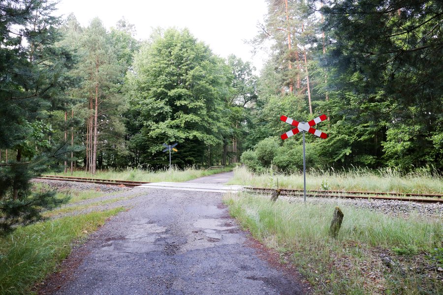 File:2021-07 Gmina Łubniany (01) Tory.jpg
Photo: Ralf Lotys (Sicherlich) via Wikimedia Commons, CC BY 4.0
Łubniany at a glance
- In the north, there are buildings dating from the Frederician colonization period; their settlement layout is colloquially known as “Silesian dachshunds.”
- The blue Łubniany–Popielów hiking trail starts in Łubniany and can be traveled on foot or by bicycle.
- The Izba Regionalna is located in the Publiczna Szkoła Podstawowa in Łubniany.
What shapes the village landscape in the north?
Buildings dating from the Frederician colonization period stand in the north of Łubniany. Together, they form a linear village layout. The term draws attention to the linear arrangement of the buildings; “Silesian dachshunds” is the colloquial name for this layout. This brings together two distinct aspects: the historical classification of the buildings and a memorable name for the settlement form.
For travelers interested in culture and architecture, this combination offers a specific focus. The buildings can be viewed both in terms of their historical classification and as part of a settlement landscape. The familiar name is part of the description of the layout and complements rather than replaces the factual term.
Which places are along the blue Łubniany–Popielów hiking trail?
The blue Łubniany–Popielów hiking trail starts in Łubniany and can be traveled on foot or by bicycle. It passes through Dąbrówka Łubniańska and Studzionka, along forest roads to Brynica on the boundary of Łubniany municipality, and onward through Grabczok and Krzywa Góra. It then runs through the Budkowiczanka valley and via Ładza, Kaniów, and Nowe Siołkowice to Popielów.
The place names make the route’s direction clear: Łubniany is the starting point and Popielów the destination. If you include the trail in your trip plans, you can first decide whether to travel it on foot or by bicycle. Check current trail conditions before setting out. The sequence of places mentioned also helps you keep track of the route, rather than knowing only its two endpoints.
What should you know about the Izba Regionalna?
The Izba Regionalna is located in the Publiczna Szkoła Podstawowa in Łubniany. This makes it a specific place to consider for anyone who wants to include a cultural element in their trip alongside the village landscape. If you plan to visit, check in advance whether a visit is possible and when. This will help you fit it into your travel plans.
When looking for a hotel for a trip to Łubniany, it helps to sort out your interests: do you want the linear village layout to shape the cultural part of your trip, would you like to include the Izba Regionalna, or is the trail to Popielów your main focus?
Discover more destinations: Sosnówka, Ochotz, Bierdzan, Chronstau, Przysiecz, Dylaki, Proskau, Lipowa.
FAQ
Where are the buildings that form the linear village layout?
The buildings are in the north of Łubniany and date from the Frederician colonization period.
Can the blue hiking trail be traveled only on foot?
No. The trail from Łubniany to Popielów can be traveled on foot or by bicycle.
Where is the Izba Regionalna?
It is located in the Publiczna Szkoła Podstawowa in Łubniany. Check current visiting options before planning a visit.
Go to the main travel overview: Opole Region.

