
Frącki: Kayak Route and Forest Nature Trail
Accommodation in Frącki
Frącki offers specific options for kayaking and hiking plans: A kayak route of around 51 kilometers runs from Giby via Stanica Wodna Frącki to Augustów. The “Tropem Wilka” forest nature trail can also begin at this water station.
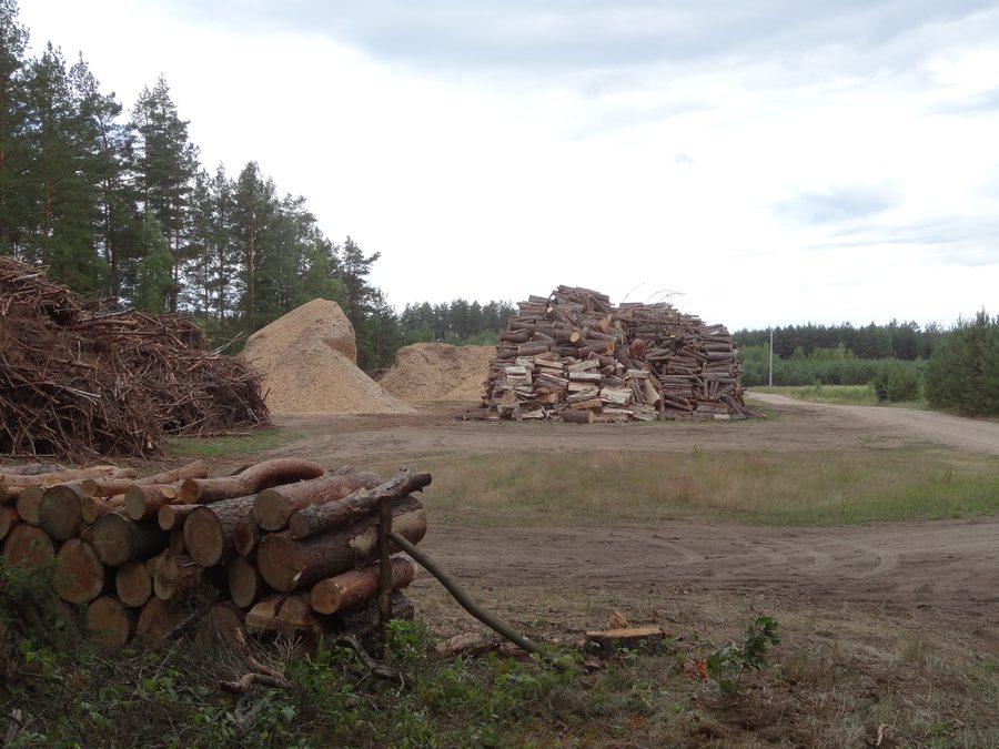 File:Frącki, tartak - panoramio (111).jpg
Photo: Wojciech Zabolotny via Wikimedia Commons, CC BY-SA 3.0
Frącki at a glance
- The kayak route from Giby to Augustów is around 51 kilometers long and runs via Lake Wierśnie, the Wierśnianka River, and Stanica Wodna Frącki.
- The “Tropem Wilka” nature and forest trail is about 8 kilometers long, forms a loop, and is marked with red wolf tracks.
- A 20-kilometer canoe section from Frącki to Mikaszówka (Rygol) is listed.
- The PTTK “Frącki” Water Station is on the Czarna Hańcza route and has camping cabins.
Which kayak route suits your plans?
The around 51-kilometer kayak route begins in Giby and runs via Lake Wierśnie, the Wierśnianka River, and Stanica Wodna Frącki. From there, it continues along the Czarna Hańcza to Augustów. This identifies both the starting point and several stops along the route. Check current route conditions before setting out.
Another kayak route listing covers the 20-kilometer section from Frącki to Mikaszówka (Rygol). For planning your stages, you can compare different start and end points and the stated distance for each: the around 51 kilometers refers to the route from Giby to Augustów, while the 20 kilometers refers to the section starting in Frącki. Choose the listing that matches your planned stages rather than treating both distances as the same trip.
What can you expect on the forest nature trail?
“Tropem Wilka” is a loop of about 8 kilometers. Red wolf tracks mark the route throughout. Possible starting points are the forestry office or the Water Station in Frącki. If you start at the water station, access is via a ford through the Czarna Hańcza. This crossing should therefore be included when planning a start from the Water Station. Check current trail conditions before setting out.
The yellow-marked hiking trail “Od Doliny Blizny do Czarnej Hańczy i Kanału Augustowskiego” also passes through Frącki. The markings help distinguish the two trails: “Tropem Wilka” is marked with red wolf tracks, while the other hiking trail has yellow markings. If you are planning a specific route, follow its own name and trail markers.
What should you consider when planning accommodation?
The PTTK “Frącki” Water Station is on the Czarna Hańcza route and has camping cabins. If you are considering them for your stay, check directly before your trip whether a stay is possible on your dates. This keeps your route planning connected to a specific accommodation decision without assuming availability.
Discover more destinations: Radziucie, Ogrodniki, Dusznica, Smolany Dąb, Mikołajewo, Krasnopol, Żubrówka Nowa and Hołny Wolmera.
FAQ
How long are the kayak routes mentioned?
The route from Giby via Frącki to Augustów is around 51 kilometers long. The section from Frącki to Mikaszówka (Rygol) is 20 kilometers long.
Where can the “Tropem Wilka” loop begin?
The listed starting points are the forestry office and the Water Station in Frącki. From the start at the Water Station, access is via a ford through the Czarna Hańcza.
Does the Frącki Water Station have camping cabins?
The Water Station has camping cabins. Check directly before your trip whether a stay is possible on your dates.
To the main travel overview: Sejny.

