
Discover Wiżajny: Trails and Culture
Accommodation in Wiżajny
Explore Wiżajny through its varied routes and distinctive local history. The listed trails differ in length, course and destination—useful information when weighing nature and culture as you plan your trip.
Wiżajny at a glance
The green hiking trail through the Góry Sudawskie is 34.5 km long. Two circular routes are listed at 12.8 km and 16.5 km; they are marked red and yellow, respectively. Another route is named “Szlak 3”. Wiżajny is home to a neoclassical church and a village green, where a playground and an outdoor fitness area have opened.
How do the trails differ?
The green hiking trail starts at the market square in Wiżajny and ends at the border crossing in Budzisko. It runs through the Góry Sudawskie from the market square in Wiżajny to the border crossing in Budzisko. Check the current trail markings before setting out.
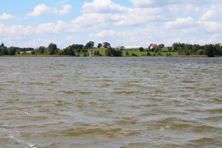
The red-marked, 12.8 km circular route goes around Lake Wiżajny: from Wiżajny through Burniszki, Stankuny and Wiłkupie, and back to Wiżajny. The yellow-marked circular route is longer, at 16.5 km. It passes through Sudawskie, Maszutkinie, Makowszczyzna, Kamionka and Marianka, and also returns to Wiżajny. Check the current markings for these two trails before setting out as well.
“Szlak 3” runs from Wiżajny through Sudawskie, Skombobole, Maszutkinie, Wingrany and Postawelek to Budzisko. Alongside the two circular routes and the green hiking trail, “Szlak 3” is another route that ends in Budzisko. To compare the marked trails, consider their length and circular course; for the green hiking trail, consider its start and end points; and for “Szlak 3”, consider the sequence of places it passes through.
What shapes the landscape along the yellow circular route?
Sections of the yellow circular route pass through numerous hills more than 250 m high. They are often cut through by ravines and sunken lanes. These features give the route through the Góry Sudawskie a character that its distance alone does not convey. When planning to include the route, you can therefore consider the landscapes described as well as the distance in kilometres.
What cultural history can be seen in Wiżajny?
The neoclassical Church of Saint Teresa of Ávila dates from 1825. Among its notable historic details is the main altar, which dates from the 18th century: it is Baroque in style and decorated with plant motifs, angels, curving cornices, volutes, gilding and richly carved small column capitals. The building thus brings together a neoclassical church and an older, elaborately decorated altar.
The village green is part of Wiżajny’s townscape. A playground and an outdoor fitness area opened there on 23 May 2022. The date records when both facilities opened.
Discover more destinations: Krzywe, Przerośl, Jeleniewo, Przełomka, Raczki, Sucha Wieś, Bakałarzewo and Bakaniuk.
FAQ
Which of the routes described are circular?
Both the red-marked route around Lake Wiżajny and the yellow-marked route through the Góry Sudawskie return to Wiżajny.
Where does the green hiking trail start and end?
It starts at the market square in Wiżajny and ends at the border crossing in Budzisko. Check the current trail markings before setting out.
When did the playground and outdoor fitness area open?
They opened on the village green in Wiżajny on 23 May 2022.
For the broader travel overview: Suwalski.

.jpg)