
Raduń – Village History, Lakes and Cycling Route B
Accommodation in Raduń
Raduń is the oldest village in the Dziemiany municipality; the earliest surviving records date from 1209. Three lakes and the 37 km Cycling Route B complement the historic character of the village.
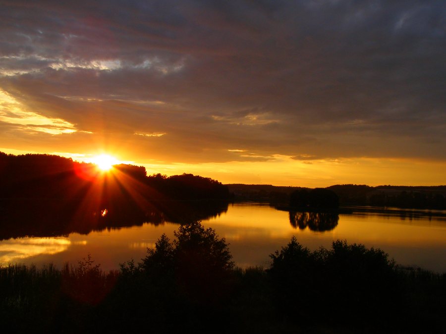 File:Raduń (lake)-sunset.jpg
Photo: Shannon7 at Polish Wikipedia via Wikimedia Commons, Public domain
File:Raduń (lake)-sunset.jpg
Photo: Shannon7 at Polish Wikipedia via Wikimedia Commons, Public domain
Raduń at a glance
- Oldest village in the Dziemiany municipality; earliest surviving records: 1209.
- The lakes Raduń, Mosino and Brzeżno are located in Raduń; they border Lake Wdzydze.
- Cycling Route B is 37 km long and leads to Raduń after the Trzebuń section.
- A 2020 inventory recorded eight holiday accommodation establishments with a total of 32 places.
What shapes Raduń’s village history?
The year 1209 refers to the earliest surviving records of Raduń. It gives the history of the place a specific point of reference in time. An important part of the village’s character is also its valuable rural settlement pattern, which has been partly preserved in the buffer zone of Wdzydze Landscape Park. Raduń lies wholly or partly within this buffer zone. Those interested in the development of rural settlements will find this distinctive aspect of local history alongside the early records.
Which lakes and natural areas are in the surrounding area?
The three lakes Raduń, Mosino and Brzeżno are located in Raduń and border Lake Wdzydze. The place names provide a specific reference point for travellers who want to include lakes in their choice of destination. The Głuchy Bór forestry district is also part of the natural surroundings along the route: the planned area-based natural monument “Buczyna w leśniczówce Głuchy Bór” (Beech Forest at Głuchy Bór Forestry Lodge) is located near the route. It comprises a stand of beech trees approximately 150 years old.
From the forestry district, the route continues to the planned nature reserve “Lipno i Lipionko”. It includes two lakes undergoing natural succession, as well as adjacent peat bogs and wet meadows. These landscape features differ markedly from the named lakes in Raduń: here, the focus is on a specific beech stand and wetlands with their bodies of water. When planning your trip, you can therefore decide whether you are most interested in the lakes or in the natural areas described along the route.
How does Cycling Route B pass through Raduń?
The 37 km Cycling Route B leads to Raduń after the Trzebuń section. Along the route, Raduń lies between Trzebuń and Jastrzębie. After entering the village, the route turns east towards the Głuchy Bór forestry district; from there it continues to the planned nature reserve “Lipno i Lipionko”.
How many accommodation establishments were recorded in Raduń in 2020?
An inventory conducted in 2020 recorded eight holiday accommodation establishments in Raduń, with a total of 32 places. This allows you to distinguish between interest in the destination and the search for suitable accommodation: village history, lakes and the cycling route describe Raduń, while the figure given provides a historical overview of holiday accommodation.
For a comparison of places, you can also consult the pages on Stary Bukowiec, Bartoszylas, Schodno, Nowy Klincz, Dywan, Wiele, Wielki Klincz and Nowy Barkoczyn.
FAQ
When is Raduń first mentioned?
The earliest surviving records of Raduń date from 1209.
Which lakes are located in Raduń?
The lakes Raduń, Mosino and Brzeżno are located in Raduń. They border Lake Wdzydze.
How long is Cycling Route B?
Cycling Route B is 37 km long. It leads to Raduń after the Trzebuń section and lies between Trzebuń and Jastrzębie along the route.
What figures are available for accommodation in Raduń?
A 2020 inventory recorded eight holiday accommodation establishments with a total of 32 places.
For the wider travel overview: Berent.

-sunset.jpg)