
Discover Świnna
Accommodation in Świnna
Świnna combines a location on the Koszarawa with an interactive exhibition and several described hiking trails. When planning your trip, you can consider whether you are especially interested in natural sciences, routes through the surrounding area, or viewpoints overlooking the town.
Świnna at a glance
- Świnna is located where the Przyłękówka stream flows into the Koszarawa River.
- The Beskidzkie Centrum Nauki NAUKOTECHNIKA features an interactive exhibition on the natural sciences.
- The Szlak Zielono Pachnącej Sosny trail runs through Świnna and Rychwałdek to Pewel Ślemieńska.
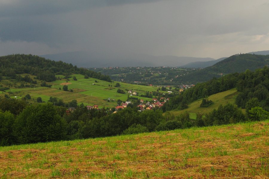
- Several higher-lying hamlets in Świnna are over 500 m above sea level and are considered viewpoints overlooking the centre of Świnna.
What defines Świnna’s geographical location?
The confluence of the Przyłękówka and the Koszarawa, along with the higher-lying hamlets, provides two geographical reference points for Świnna. The hamlets are over 500 m above sea level and are considered viewpoints overlooking the centre of the town.
What cultural and natural science experiences are available?
The focus at the Beskidzkie Centrum Nauki NAUKOTECHNIKA in Świnna is an interactive exhibition on the natural sciences. It offers a concrete point of interest for travellers who are interested not only in the landscape during their stay, but also in natural science topics.
The Gminny Ośrodek Kultury is also based in Świnna. Events it organises include the recurring Międzynarodowy Konkurs Plastyczny. This means that, alongside the natural sciences exhibition, the town also has a cultural connection. The competition adds an artistic note.
Which trails and waterside spots can you include in your plans?
The Szlak Zielono Pachnącej Sosny trail runs through Świnna and Rychwałdek to Pewel Ślemieńska. Another route is the yellow-marked hiking trail connecting Świnna with Moczarki nad Przyłękowem. The descriptions provide different geographical references: one trail is described by several places along its route, while the other connects two named places. No route length or walking time is given for these trails.
In the area around the destination, water steps on the Koszarawa serve as bathing spots. These include Duża Tama; residents of nearby Żywiec use these bathing spots. This is another point of interest for travellers who would like to consider waterside spots in the area as well as hiking.
For a comparison with other destinations, you can also find information about Gilowice, Cisiec, Tresna, Koszarawa, Korbielow, Rycerka Górna, Ślemień and Radziechowy.
FAQ
Where is Świnna located?
Świnna is located where the Przyłękówka stream flows into the Koszarawa River.
Which hiking trails are described for Świnna?
The Szlak Zielono Pachnącej Sosny trail runs through Świnna and Rychwałdek to Pewel Ślemieńska. A yellow-marked hiking trail connects Świnna with Moczarki nad Przyłękowem.
Are there bathing spots in the area?
There are bathing spots at water steps on the Koszarawa, including Duża Tama, which are used by residents of nearby Żywiec.
What does the Beskidzkie Centrum Nauki NAUKOTECHNIKA offer?
The centre in Świnna presents an interactive exhibition on the natural sciences.
For the broader travel overview: Żywiec.

