
Mchawa: Hotels and accommodations
Accommodation in Mchawa
Mchawa is located in an area with several named landscape references: The surrounding area of Mchawa includes Steznica – na Steznicy, Suliła, Chryszczata, and Komancza – na rz. Oslawicy. This connection to the surrounding landscape is well suited to a trip in which the area around the town is deliberately taken into consideration.
You can book a hotel in Mchawa.
Nature
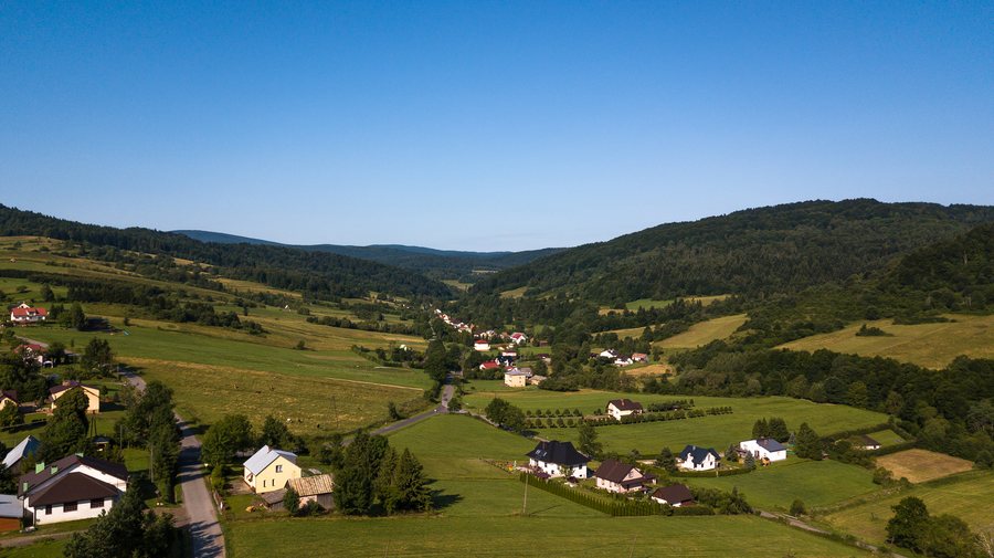
Mchawa is located in the valley of the Hoczewka River, a tributary of the San. The Mchawa stream and another unnamed stream also flow into the Hoczewka.
History
Mchawa is described as a settlement established under Wallachian law, documented in the second half of the 15th century. This documented settlement history is a specific point of reference for travelers interested in the history of a place.
In 1511, a land demarcation involving Mchawa and Stężnica took place at the site where Baligród was later re-founded.
Geographical setting
The settlement is arranged partly along a low watershed that rises southwest toward Krywiańska; Krywiańska is listed as having an elevation of 686 m above sea level.
For the next step in selecting a destination, you can also compare Roztoki Dolne, Górzanka, Zwierzyń, Werlas, Uherce Mineralne, Lesko, Wetlina, and Kalnica.
To the higher-level travel overview: Leski.

