
Laśmiady: Lakeside Setting and Routes
Accommodation in Laśmiady
Laśmiady lies on Lakes Ułówki and Łaśmiady. Their connection and the different route paths are important for getting your bearings: one trail passes through the village, while another route runs along the lakeshore. The village’s older name forms can also be placed in chronological order.
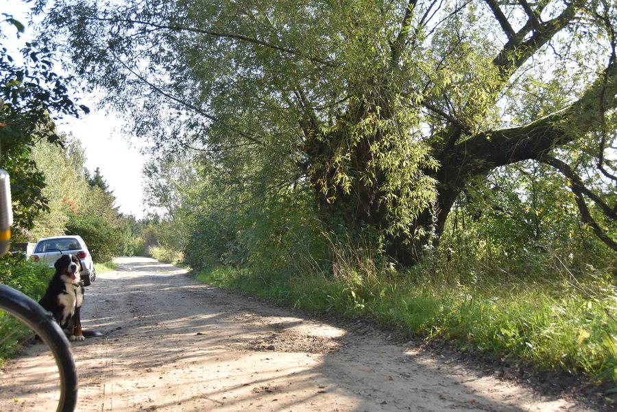
Laśmiady at a glance
- The village lies on Lakes Ułówki and Łaśmiady.
- Ułówki is the western arm of Lake Łaśmiady near Gorło and Laśmiady.
- Lake Łaśmiady covers an area of 264.82 ha and has a maximum depth of 25.5 m.
- “Wokół Łaśmiad” is marked in orange and runs for about 31.7 km through Laśmiady; the Szlak Łaźna Struga runs for 57 km along the lake’s right bank.
How are the village and the lakes connected?
Laśmiady is the name of the village; Łaśmiady is also the name of the lake. Ułówki is its western arm and lies near Gorło and Laśmiady. The lakes are connected: Ułówki is part of Lake Łaśmiady. This distinction keeps the village and the bodies of water separate despite their similar spellings and clarifies the village’s location in relation to both lake names.
What do the lake’s measurements tell us?
Lake Łaśmiady covers an area of 264.82 hectares and has a maximum depth of 25.5 metres. Area and maximum depth are different measurements of the same body of water. Both figures refer to the lake, not to the village of Laśmiady. This distinction helps to keep the place and lake names separate.
Which routes pass through the surrounding area?
The two routes can be distinguished by their length and course. The orange-marked “Wokół Łaśmiad” trail passes through Laśmiady and is about 31.7 kilometres long. The Szlak Łaźna Struga is 57 kilometres long and runs along the right bank of Lake Łaśmiady; it is in the immediate vicinity of the villages of Gorło and Laśmiady. Thus, a trail through the village contrasts with a longer lakeshore route. The approximate distance applies specifically to “Wokół Łaśmiad”.
What older names were used?
The older name forms can be distinguished by period. In 1540, they were Lesemund and Lesemuntzki; in 1664, Lasmiaden and Lasameth. Laszmiaden was used up to 1938, while the form Laschmieden was used from 1938 to 1945. This gives a sequence with clear dates. For navigating to today’s travel destination, Laśmiady remains the place name.
Discover more destinations: Lepaki Wielkie, Woszczele, Bogusze, Golubie, Bajtkowo, Regiel, Nowa Wieś Ełcka and Bartosze.
FAQ
Which lakes is Laśmiady on?
The village lies on Ułówki and Łaśmiady. Ułówki is the western arm of Lake Łaśmiady.
What are the measurements of Lake Łaśmiady?
It covers an area of 264.82 hectares and has a maximum depth of 25.5 metres.
Which trail passes through Laśmiady?
The orange-marked “Wokół Łaśmiad” trail passes through the village and is about 31.7 kilometres long.
What older names are recorded for Laśmiady?
The forms are Lesemund and Lesemuntzki (1540), Lasmiaden and Lasameth (1664), Laszmiaden up to 1938, and Laschmieden from 1938 to 1945.
For the broader travel overview: Lyck.

