
Măguri-Răcătău between moorlands, gorges and mountain trails
Accommodation in Măguri-Răcătău
Nature and Landscape
The Măguri-Răcătău area is home to Împărăţia lui Zamolxe, a 514-hectare zoological reserve. Turbăria de la Căpăţâna is a botanically valuable peatland area protected since 1969. It lies on the main ridge of the Gilău-Muntele Mare massif between the Căpăţâna and Balomireasa peaks, at an altitude of 1,600 metres. The Molhaşurile Căpăţânii nature reserve encompasses peatlands that are home to rare plant species.
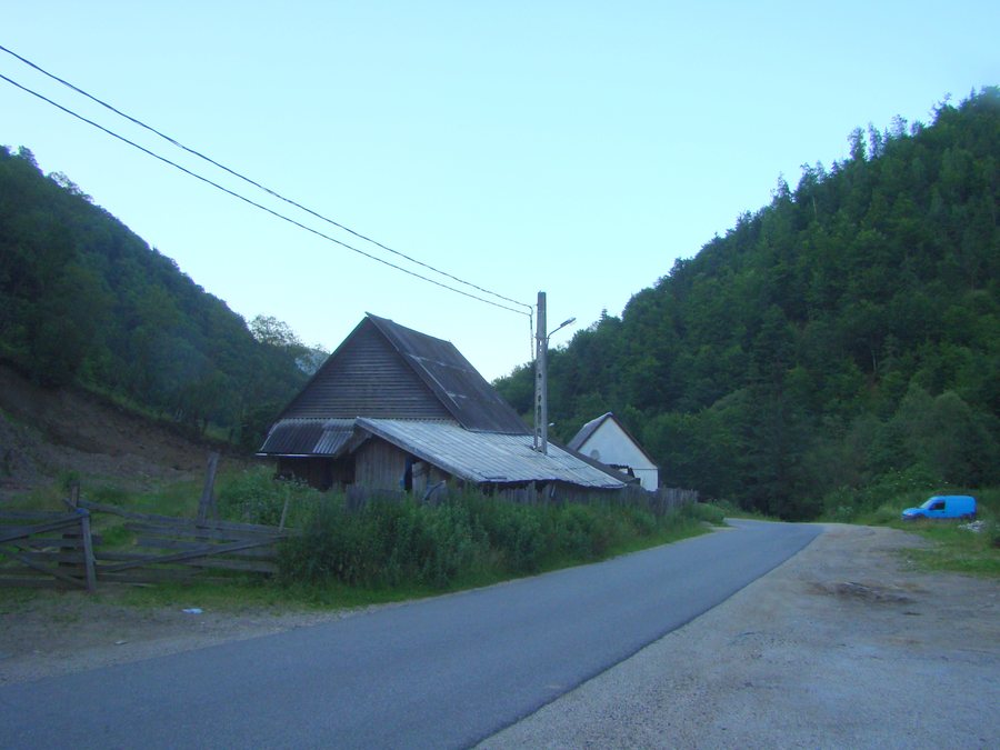
The Someșul Rece River forms a deep, wild gorge crossed by a forest road; the Someșul Rece dam is located at its upper end. The Răcătău Valley separates the commune of Măguri-Răcătău from the commune of Mărișel and forms one of the deepest gorges in the Apuseni Mountains. The Țâcla Gabrii rock offers views of the villages of Mărișel and Măguri.
Cheile Dumitresei can be reached from the Defileul Someșului Rece via a forest road or along the valley. A narrow path into Cheile Dumitresei leads up a slope; from there, a panorama opens up directly above the stream. Information about the terrain, route and duration can be compared separately when arranging day plans.
The landscape areas have different characteristics: peatlands lie along the main ridge, while gorges and valleys shape the watercourses, and the rock forms a viewpoint of its own. For day planning, it is therefore possible to distinguish whether a route crosses the ridge, passes through a valley, follows a stream or traverses a slope.
Hiking and Historic Trails
The historic paved road “drumul lui Antonescu” connects Măguri-Răcătău with Valea Ierii. Today, tourists drive along it, and it is used for sporting competitions. The Măguri-Răcătău–Smidele mountain route is marked with a yellow bar, takes 8–9 hours and has a moderate difficulty level.
The CG trail connects Măguri-Răcătău with the ridge of Muntele Mare below Vf. Piatra Groșilor. In winter, the CG trail is accessible only to experienced, well-equipped tourists, depending on the amount and quality of the snow; touring skis are recommended because of the thick snow cover.
The trails therefore differ in their historic use, markings, stated time requirements and winter conditions. These characteristics can be considered separately when putting together day plans, without treating the historic road, the long mountain route and the snow-dependent ridge trail as a single type of route.
Those comparing different day lengths will find a clearly designated 8–9-hour route in the marked mountain trail, while the CG trail has a winter access condition related to snow. The historic road, in turn, connects two places and is also used for purposes other than hiking. Thus, time required, season and type of use remain separate criteria.
Culture
The wooden church of Măguri-Răcătău, Teleni branch, was built in 1825. The Căsuța Bunicii Museum displays shirts, wooden objects and painted bowls more than 100 years old. The museum houses hundreds of objects representing centuries-old local traditions.
For the overarching travel overview: Comuna Măguri - Răcătău.

.jpg)