
Vieska between local history and the Malý Dunaj
Accommodation in Vieska
Vieska is located in the Danubian Lowland in the central part of Žitný ostrov. The village territory includes the cadastral area of Blatná lúka, which extends as far as the Malý Dunaj. This also includes the Klátovské rameno, or rather its former river course, which no longer has a continuous water surface. In Vieska, river landscapes, agriculturally shaped surroundings and a historically evolved village character therefore come together.
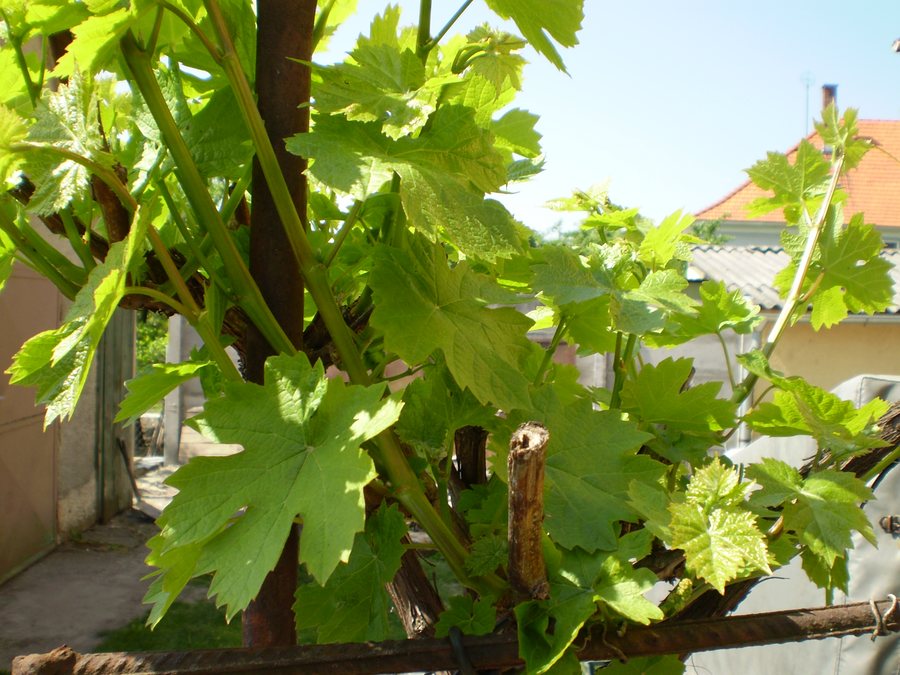 File:Vitis vinifera, Vieska, Slovakia, 2009-04-22.jpg
Photo: joysi (photo), Dušan Kreheľ (photo name) via Wikimedia Commons, CC BY 3.0
File:Vitis vinifera, Vieska, Slovakia, 2009-04-22.jpg
Photo: joysi (photo), Dušan Kreheľ (photo name) via Wikimedia Commons, CC BY 3.0
Location and landscape
With its accompanying forests and the floodplain woodland areas that are partly enclosed within its meanders, the Malý Dunaj forms an important positive landscape element. The area of European importance SKUEV0822 Malý Dunaj also directly borders Vieska's planning area. The protection requirements of the Klátovské rameno national nature reserve must be observed within the planning area. The connections to the river, floodplain woodland and protected areas are therefore among Vieska's defining geographical features.
History
The first known mention of Vieska dates from 1322; at that time, the village was referred to as Kysfeuldi. Until the middle of the 19th century, Vieska was a noble village. The noble Nagyovci family was among the more prominent families that owned property here. In the oldest built-up areas along Hlavná and Veľká streets, the rural historical character and historic layout are to be preserved. The village's history is thus reflected both in its early recorded name and in the preserved structures of the settlement area.
Culture and village character
Religious memorials include the Pietà sculpture ensemble at 154 Hlavná Street. It depicts a seated Madonna holding the dead Christ in her arms. Another Pietà sculpture ensemble is located at the intersection of Športová, Agátová and Ružová streets near the sports field; it is dated 1898.
At 60 Hlavná Street stands a wayside chapel with a statue of Ružencová Panna Mária. The original chapel at this site dates from 1892 and was reconstructed in 1995. The main cross in the local cemetery commemorates the year 1863; it was restored in 1991. The cemetery also contains a memorial erected in 1992 to the soldiers who fell in the Second World War. The names of 18 fallen residents of Vieska are carved into the memorial.
The cemetery also has a bell tower from 1993 with one bell. Another bell tower stands on Hlavná Street and likewise carries one bell. Together with the two Pietà ensembles, the wayside chapel and the historic layout along Hlavná and Veľká, these sites form the concrete reference points of the traditional village character.
Cycling and water
The signposted Galantský cyklookruh runs through the Vieska area along an existing field road. In addition, Cycle Route 5232 passes through Vieska along a 2.4-kilometre stretch. The Štrkovisko Vieska fishing water is also associated with the topic of water: It covers 1.5 hectares and has a stable water level.
An event in May 2026
On 23 May 2026, the municipality of Vieska will hold a cauldron cooking competition together with a children's day at the local football field.
Other local destinations
Other local destinations: Kráľovičove Kračany.
For the higher-level travel overview: Vieska.

