
Municipality of Lokvičići
Accommodation in Municipality of Lokvičići
The Municipality of Lokvičići is known for its karst lake landscape, a wetland partly within the municipal area, walking trails and archaeological traces. For planning your trip, the different trail lengths, the elevation gain of the hiking trail and the difficult-to-access Knezović Lake are particularly useful points of reference.
Lokvičići at a glance
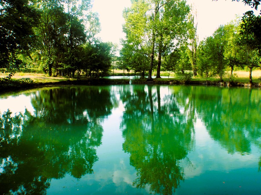
The Lokvičić Lakes comprise Lokvičić Lake, also called Mamića Lake, Knezović Lake and Galipovac. A circular trail runs around the lakes; there is also a 3.9-kilometre geotrail and the 7.7-kilometre Lokvičićka jezera hiking trail, with 570 metres of elevation gain. The Prološko blato protected landscape area lies partly within the municipal area. For orientation within the wider region, Lokvičići is part of the geographical area of Imotska Krajina, which is covered by the Imota Tourist Board.
What makes the lakes and wetland distinctive?
Prološko Blato is a floodplain in the western part of Imotsko polje that is underwater for part of the year. This significant protected landscape area was designated in 1971 and covers 10.24 km². It is ecologically valuable as a habitat for waterfowl and endemic fish species. The Lokvičić Lakes are a separate, clearly defined group: Galipovac is considered their largest and best-known lake, while Knezović Lake is a very steep, difficult-to-access karst depression.
The water in Knezović Lake is very clear, and the lake is about 40 metres deep. The three Lokvičić Lakes do not dry up. At the same time, they are thought to be connected by underground watercourses to the Imotski Valley or Proložac Mire. This connection is hypothetical; the landscape unit includes the Lokvičić Lakes, Proložac Lake and the part of the Imotski Valley known as Proložac Mire. Those interested in the forms of the karst landscape will find a range of features here: an area that is periodically flooded, a group of permanent lakes and a steep karst depression.
Another vantage point is Sumbulova gradina, a hill offering wide views of Imotsko polje and the chain of karst lakes surrounding it. There are viewpoints and rest areas at Galipovac. These two locations offer different perspectives on the landscape: from Sumbulova gradina, the view extends across the polje and the lakes, while the viewpoints at Galipovac look directly out over the lake.
Which trails can you plan for?
Several trails are described for the Lokvičić Lakes. A circular trail runs around the lakes, while the purpose-built and prepared geotrail is 3.9 kilometres long. It has rest areas, viewpoints and educational panels. The geotrail therefore combines its stated distance with places to rest, take in the views and read. The Lokvičićka jezera hiking trail is longer at 7.7 kilometres and has 570 metres of elevation gain. When choosing a route, consider both its length and this elevation gain. These descriptions refer to two different trail formats; they do not indicate that the circular trail and the geotrail follow the same route.
What historical traces can you find?
In Lokvičići lies the archaeological site of Grad. Parts of fortification walls and the walls of two buildings have been preserved there. This is distinct from the secluded fortress known as “Grad”, between Mamića Lake and Knezović Lake: it bears traces of human use from prehistoric times through the Middle Ages. The two descriptions offer access to different historical aspects, from preserved walls to a history of use spanning several eras.
Religious and stone monuments also form part of the local landscape. The large church in the centre of the Christ the King parish in Lokvičići was completed in 1938. Berinovac has notable tombstones, while prehistoric tombstones can be found above Galipovac. If you are comparing the municipality as a destination, nature and historical sites can be found side by side here, without needing to combine them into a single route.
Compare other municipal destinations in the profiles of Općina Šestanovac, Općina Cista Provo, Općina Solin, Općina Vrlika, Općina Proložac, Općina Nerežišća and Općina Marina.
FAQ
Which lakes make up the Lokvičić Lakes?
The group comprises Lokvičić Lake, also called Mamića Lake, Knezović Lake and Galipovac.
How long are the trails described?
The geotrail is 3.9 kilometres long. The Lokvičićka jezera hiking trail is 7.7 kilometres long and has 570 metres of elevation gain. There is also a circular trail around the lakes.
What should you know about Knezović Lake?
Knezović Lake is a very steep and difficult-to-access karst depression. Its water is very clear, and it is about 40 metres deep.
For the broader travel overview: Split-Dalmatia.

