
Petroupim: Hotels and Accommodation
Accommodation in Petroupim
Within the cadastral area of the municipality of Petroupim, the 519.6 m-high Krásná Hora mountain rises amid a spruce forest. Local monuments in Petroupim include the stone Konírna F. F. d‘ Este.
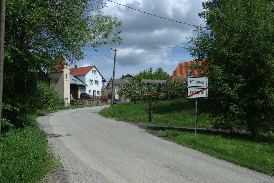 File:Petroupec, příjezd do vesnice.jpg
Photo: I would appreciate being notified if you use my work outside Wikimedia. More of my work can be found in my personal gallery . via Source, CC BY 3.0
File:Petroupec, příjezd do vesnice.jpg
Photo: I would appreciate being notified if you use my work outside Wikimedia. More of my work can be found in my personal gallery . via Source, CC BY 3.0
Landscape and Trails
The northern wooded part of the Petroupim area is of high landscape value, as are the floodplain meadows of the streams in the southern part of the Petroupim area. Marked hiking trails run through the area; the Petroupim landscape is mainly used for cycling and hiking.
Cycle Route 0068 follows a dedicated road from Okrouhlice in the south to Soběhrdy via Petroupim and runs away from heavily trafficked roads. A hiking route also runs through Petroupim from Chocerady via Bělčice and Kozmice to Benešov.
Krásná Hora is a destination for walks; there is a covered seating area there for resting. The mountain is also the destination of a traditional New Year's ascent.
Culture and History
An old cross stands at the intersection of field paths and footpaths leading to Petroupim; it has stood there since the time of the Lords Kostka of Postupice. The former school building in Petroupim was ceremonially opened and consecrated on 1 April 1912.
The first written mention of Petroupim dates from 1318; at that time, the knight Beneš of Petroupim lived there.
More local pages: Řehenice, Vodslivy, Merin, Neustupov, Zdislavice, Ostředek, Děkanovice, Petriny U Vlasimy.
To the higher-level travel overview: Benešov District.

