
Radotin: Hotels and Accommodation
Radotín lies on the boundary between the Český kras and the Prague Basin, as well as on the left bank of the Berounka. The area is located at the confluence of the Radotínský potok and the Berounka.
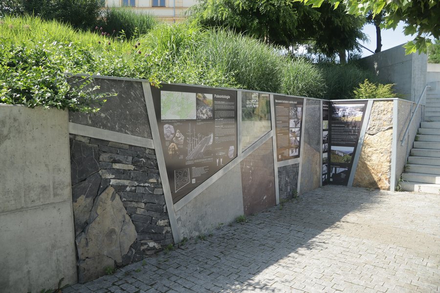 File:Overview of Geological signs near Nad Berounkou street in Radotín, Prague.jpg
Photo: Jiří Sedláček via Wikimedia Commons, CC BY-SA 4.0
File:Overview of Geological signs near Nad Berounkou street in Radotín, Prague.jpg
Photo: Jiří Sedláček via Wikimedia Commons, CC BY-SA 4.0
Nature
The Radotín educational trail has 18 stops, is 11 kilometres long and has an elevation difference of 330 metres.
In 2026, the Radotín educational trail between points 1 and 10 was extended by 19 interactive stops.
Radotínské skály include fossil sites with brachiopods, bivalves, gastropods, cephalopods, trilobites and graptolites. They are also a protected geological site with an exposed profile of Palaeozoic sediments and rock-steppe communities.
The Radotínské údolí Nature Reserve is freely accessible to the public without restrictions. The easiest access is via the red hiking trail along the Radotínský potok from Cikánka (Maškův mlýn) through Řeporyj towards Choteč.
The islands of Veslařský ostrov, Střelecký ostrov and Velké Benátky are located in the vicinity of Radotín. Doutnáč is a mountain in the wider regional area around Radotín.
Culture
The Kulturně komunitní centrum Koruna offers educational, cultural, community and exercise activities for all age groups. It has a large courtyard with a stage and pavilion for outdoor activities.
Palác Kinských and The Golz-Kinsky Palace are palaces in the vicinity of Radotín. Galerie Rudolfinum is a museum there, while Letohrádek královny Anny is a château.
At Havelské posvícení 2025, the market offered homemade jams, cheese, sausages, honey and baked specialities.
More local pages: Jinonice, Cakovice, Motol, Kbely, Vinohrady, Prague 12, Strašnice, Prague 6.
To the higher-level travel overview: Prague.
Check prices, availability and amenities for your travel dates directly on Booking.com.
View accommodation and offersAdvertisement · Affiliate link to Booking.com
