
Žár: Hotels and accommodations
Accommodation in Žár
Žár is a place with a historically preserved street layout. It follows the course of a linear settlement established along the original regional road. Part of the administrative area of the municipality of Žár belongs to the Novohradsko Landscape Heritage Zone.
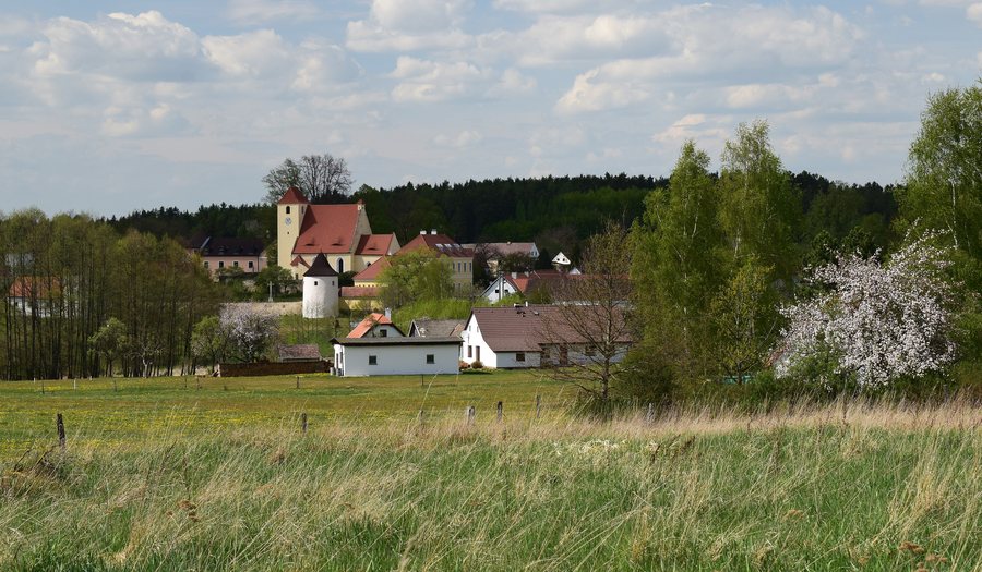
History
The first written mention of Žár dates from 1186. The current name Žár is documented for the place in 1221. The history of the place also includes a vanished building: the Buquoy family had a summer palace built on an island in Žárský rybník, which has since disappeared.
Nature
With an area of 120 ha, Žárský rybník is the largest pond in Novohradsko. It lies in the immediate vicinity of the village of Žár, in the area of the Vitorazská trade route between Trhové Sviny and Nové Hrady, and was already mentioned in 1221.
Cycling
Pamětí Slepičích hor is a 54 km circular route with 21 stops. Pamětí Novohradska is also 54 km long and is an educational circular route with 19 stops and information boards about the history of the individual places. Around 90% of the Pamětí Novohradska route runs along paved asphalt roads; some sections are suitable only for mountain bikes and trekking bikes.
In the Žár–Žumberk section, the Pamětí Novohradska route overlaps with the Slepičích hor route. The Za Janem Žižkou na Trhovosvinensku and Za pivem na Trhovosvinensku routes also pass through Žár.
You may wish to book a hotel in Žár.
Other places
More place pages: Modrá Hůrka, Drahotieschitz, Trebícko, Chraschtian, Olesnik, Kronfellern, Adamstadt, Čenkow.
To the higher-level travel overview: České Budějovice District.

_01.jpg)