
Oslov: Hotels and Accommodation
Accommodation in Oslov
Oslov combines historic buildings with natural sites and marked trails. The individual places range from the edge of the village to the surrounding area.
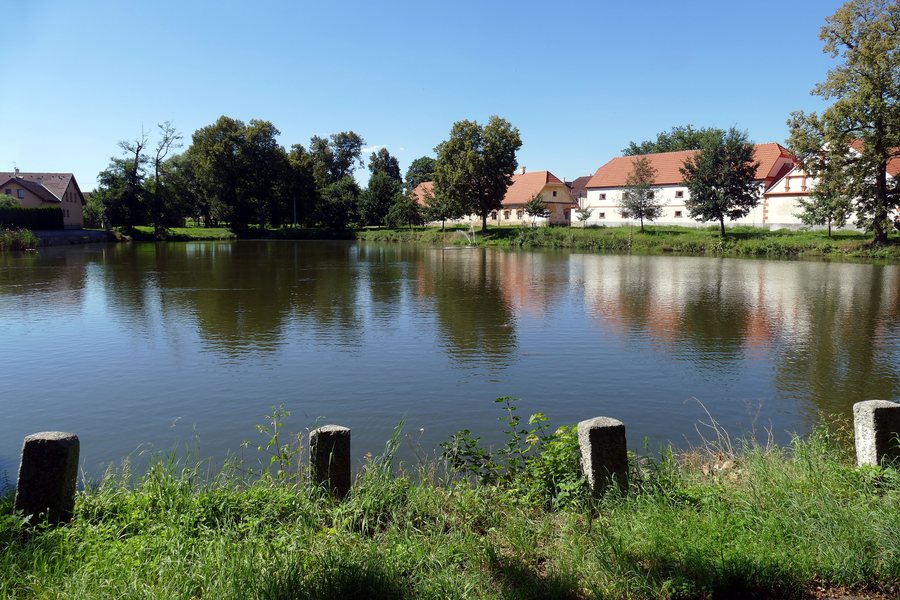 File:20.8.20 1 Oslov - Cerveny Ujezd 45 (50248948813).jpg
Photo: Donald Judge via Wikimedia Commons, CC BY 2.0
File:20.8.20 1 Oslov - Cerveny Ujezd 45 (50248948813).jpg
Photo: Donald Judge via Wikimedia Commons, CC BY 2.0
Anyone planning their stay in Oslov at a hotel will want to find a suitable offer.
Culture
The early Baroque wayside shrine boží muka stands on the northern edge of Oslov along the road towards Zvíkov. It is a plastered masonry pillar with a solid cubic base and an irregularly cylindrical shaft, which is topped by a cubic lantern structure.
The Chapel of St. Anne stands on the edge of Oslov. It was built between 1545 and 1548 on the site of a former hermitage. In the Chapel of St. Anne, a Baroque painting of Saint Anne from the first half of the 18th century hangs above the altar.
The Church of St. Linhart stands in the centre of Oslov on the north side of the village square. It was originally Gothic. Historic groin vaults and a coffered ceiling have been preserved inside.
Between 1886 and 1889, a valuable railway steel truss bridge was built over the Orlík Reservoir in the vicinity of Oslov. The railway steel truss bridge in the vicinity of Oslov is 253 metres long and has a deck truss.
Nature
Židovna Pond is a local pond with yellow iris flowers along its banks and carp anglers.
The Svatá Anna Peninsula is designated as a protected natural area with the Church of St. Anne.
Výří skály Nature Reserve is located approximately two kilometres from Oslov. In the Krkavčina area, there is a remnant of a relic pine forest on silicate subsoil, with bearberry (Arctostaphylos uva-ursi) occurring there.
Trails
A green-marked hiking trail from Tukleky leads to Výří skály Nature Reserve and then continues to Zvíkov Castle.
The Partyzánská educational trail runs through the western surroundings of Oslov and presents the history of resistance and partisan activity in this area. The Partyzánská educational trail is 6.3 kilometres long. It runs from the Oslov bus stop via Černý vrch, U Chyšáka samoty, U Chyšáků, the confluence of the Otava and Lomnice rivers, and Pazderny to the Oslov cemetery.
Oslov provides a map portal through which the municipal map and cadastral map can be displayed and the land registry system accessed.
For further navigation: Myslín, Ostrovec, Cervena, Orlik Nad Vltavou, Kucer, Obora U Cerhonic, Pametice U Pisku, Minice.
To the higher-level travel overview: Písek District.

.jpg)