
Discover Háromhuta
Accommodation in Háromhuta
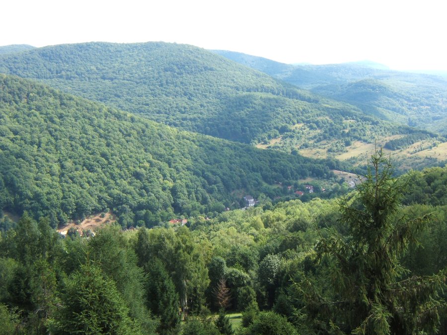
Háromhuta combines numbered hiking trails with a nature trail and a village landscape shaped by old farmhouses and religious memorial markers. The various starting points and trail lengths make it easy to narrow down which route and details you would like to explore first.
Key facts about Háromhuta
- The Tölgyesbérc Tanösvény is 4 km long, moderately difficult and has an elevation gain of 70 m; walking time is approximately 2–3 hours.
- The nature trail has four covered rest areas with benches and tables, a 6 m-high birdwatching tower with a viewing point, and four information boards.
- The numbered hiking trails start in, among other places, the settlement areas of Újhuta, Középhuta and Óhuta.
- Háromhuta’s older farmhouses include buildings that are more than a hundred years old; religious symbols, figure niches and dates are often found on their façades.
Which hiking trails would you like to explore?
The numbered routes differ in their starting points and listed waypoints. Route 2 goes from Újhuta via Gerendás-rét, Kerek-kő and Szpalanyica-rét and back to Újhuta. Route 3 also starts in Újhuta: it runs via Eljegyzés-híd, Zsidó-rét, the Eszkálai erdészház and Gerendás-rét, returning to the starting point. Check trail conditions before setting out.
Route 5 starts in Középhuta and goes via Czárán-pihenő, Éles-bérc and Üveggyár before returning. It is not officially maintained; its markings may vary. Route 11 starts in Óhuta and returns via Kis-Zabarla, the Pálos kolostorrom, Barátok-pihenő and Kis-Királyos. When choosing between the trails, the starting point and the listed stops are particularly useful points of comparison.
What can you expect on the Tölgyesbérc Tanösvény?
The nature trail runs above Középhuta across municipal hay meadows and other meadows, as well as through forests. When planning, you can take into account the approximate walking time of two to three hours alongside the four-kilometre length and 70 m of elevation gain. The moderate difficulty rating provides additional guidance about the trail.
There are four covered rest areas with benches and tables along the way. There are also four separate information boards and a six-metre-high birdwatching tower with a viewing point. This sets the nature trail apart from the numbered routes, whose descriptions mainly list their course and waypoints.
What characterises Háromhuta’s village landscape?
The façades of the old farmhouses are worth a closer look: they are often decorated with religious symbols, figure niches and dates. A tornác—a covered porch or veranda—runs along the long side of each building. Some of these houses are more than a hundred years old. The combination of façade details and the elongated porch gives this traditional house type its distinctive appearance.
What destinations are nearby?
In the forests around Háromhuta, recommended hiking destinations include István-kúti nyíres, Kerek-kő at 494 m, Nagy-Péter-mennykő at 709 m, and Sólyom-bérc at 564 m. The Országos Kéktúra passes by István-kúti nyíres. There is also a rock-climbing practice area at Sólyom-bérc. These destinations complement the trails whose starting points are directly in Újhuta, Középhuta or Óhuta.
If you would also like to compare other destinations: Vajdácska, Komlóska, Tolcsva, Sárazsadány, Makkoshotyka, Vámosújfalu, Sárospatak and Hercegkút.
FAQ
How long is the Tölgyesbérc Tanösvény?
The moderately difficult nature trail is 4 km long and has an elevation gain of 70 m. Walking time is approximately 2–3 hours.
Which numbered hiking trail is not officially maintained?
Route 5 goes from Középhuta via Czárán-pihenő, Éles-bérc and Üveggyár before returning. It is not officially maintained, and its markings may vary.
What characterises the older farmhouses in Háromhuta?
Some are more than a hundred years old. Their façades often feature religious symbols, figure niches and dates; a tornác runs along the long side of each building.
For the overview of the wider area: Sárospatak.

