
Biatorbágy: Viaducts and Limestone Landscape
Accommodation in Biatorbágy
Biatorbágy combines historic viaducts with limestone landscapes, geological traces, and a one-kilometer walking path.
Biatorbágy at a glance
- The two viaducts were built in 1883–1884 and 1898.
- A substantial Lajta limestone ridge runs along the edge of the southern side of Kőhegy. At 301 meters, Kőorr is the highest point of the Kőhegy limestone ridge.
- The Natura 2000 site of Madárszirt and Nyakaskő lies on the limestone ridge on the western side of Öreghegy.
- The Roman Catholic church in Torbágy was built in 1800 in the Classical style in honor of Saint Anne and is a nationally protected monument.
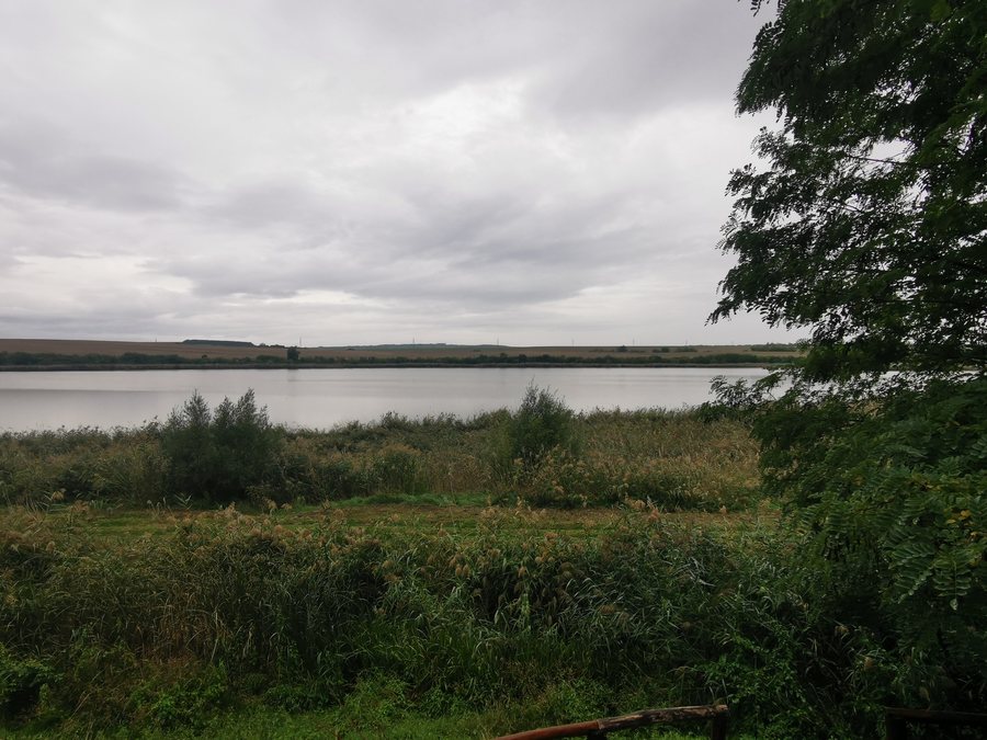
- A one-kilometer walking path was created in the Madár-forrás project area. A small wetland lies in the immediate vicinity of the spring.
What do the viaducts and church tell us about Biatorbágy?
Biatorbágy’s two viaducts are of interest from both a historical and an engineering-history perspective. Their construction dates point to two building phases: the first bridge was built in 1883–1884, and the second in 1898. Those interested in the history of structures can use these two dates as a timeline for the viaducts’ development.
The Roman Catholic church in Torbágy offers a different historical reference point. It was built in 1800 in the Classical style in honor of Saint Anne and is a nationally protected monument. This means that two distinct themes complement each other in the history of the area: the engineering-historical significance of the viaducts and the history of a religious building with a clearly named dedication.
The history of the Angyalfia Vásár can also be placed in context: in autumn 2002, the board of the parents’ foundation of Biatorbágy Primary School decided to organize an Advent event.
Where can you see the limestone landscape?
A substantial ridge of Lajta limestone runs along the edge of the southern side of Kőhegy. At 301 meters, Kőorr is the highest point of the Kőhegy limestone ridge. Madárszirt and Nyakaskő, a Natura 2000 site, lie on a limestone ridge on the western side of Öreghegy. These place names describe different landscape features in Biatorbágy.
Csízgey-árok runs between Nyakaskő and Madárszirt. There you can observe rock strata and imprints of shells and crustaceans, remnants of a prehistoric sea. The area’s notable geological features therefore include not only the limestone ridges, but also their strata and the imprints of former marine life.
Another named feature is located on the Kőhegy ridge: the first rock contains two niches, one of which is considered a large niche.
What nature-related features can you discover on foot?
A one-kilometer walking path was created in the Madár-forrás project area. Its length makes it a convenient option for a short walk. The small wetland in the immediate vicinity of the spring adds another landscape feature to the area’s natural attractions.
Another specific point of interest for nature enthusiasts is at the end of Kölcsey utca, formerly called Szél utca: there is a bird-identification sign, with a map on its reverse. The sign therefore combines information about identifying birds with a map at a precisely specified end of the street.
Which focus suits your stay?
The viaducts and the church in Torbágy offer different points of interest for those exploring local and architectural history. Those interested in geology can focus on the limestone ridges, Kőorr, and the strata in Csízgey-árok. For a short time outdoors, the one-kilometer walking path at Madár-forrás is another option. If you are looking for a hotel, you can first consider which of these themes matters to your trip and choose accommodation that fits your own plans.
Discover more destinations: Budakeszi, Sóskút, Telki, Törökbálint, Páty, Pusztazámor, Herceghalom and Budajenő.
FAQ
When were the Biatorbágy viaducts built?
The first bridge was built in 1883–1884, and the second in 1898.
Where are Madárszirt and Nyakaskő located?
They lie on a limestone ridge on the western side of Öreghegy. Csízgey-árok runs between them.
How long is the walking path at Madár-forrás?
The walking path created in the project area is one kilometer long. There is also a small wetland in the immediate vicinity of the spring.
What can you find at the end of Kölcsey utca?
There is a bird-identification sign there. A map is located on its reverse.
Go to the main travel overview: Budaörsi.

