
Sóskút: Rocky Landscape, Earthwork and Nyakas Kör
Accommodation in Sóskút
Sóskút’s character is reflected at Kálvária-domb in a combination of limestone landscape and traces of the Bronze Age. The longer Nyakas Kör route also passes over the hill; the circular route is offered in 13- and 25-kilometre options. If you are looking for a hotel in Sóskút, these nature, culture and route themes can help you tailor your travel plans to your interests.
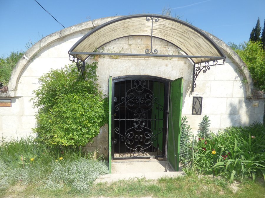 File:Jellegzetes pince a sóskúti Öreghegyen 1.jpg
Photo: Solymári via Wikimedia Commons, CC BY-SA 4.0
Quick facts about Sóskút as a place to stay
- The 173-metre-high Kálvária-domb lies on the northern edge of Sóskút.
- A limestone ridge about 400 metres long contains two carved niches.
- Remains of a Bronze Age earthwork have been uncovered on the hill.
- Nyakas Kör is a circular route between Biatorbágy and Sóskút, with 13- and 25-kilometre options.
What shapes the landscape of Kálvária-domb?
The hill is 173 metres high. Its eastern and northern slopes are steep and rocky, while its southern and western slopes descend more gently. A limestone ridge around 400 metres long runs from northeast to southwest on the northeastern-to-eastern side. It contains two carved niches. These features give the hill a distinctive landscape profile, separate from its archaeological significance.
Remains of a Bronze Age earthwork have been uncovered on the ridge. The fortified area occupies the summit and is at most 97 metres long and 44 metres wide. Old quarrying traces and Babólyuk Cave are located in the northwestern part of the ridge. The rock with the niches is designated a nationally significant protected natural area and natural monument.
The condition of the paths is important when navigating the hill: an easy-to-walk dirt track leads uphill, but in places a difficult path runs along the base of the cliff. The rock with the niches is also considered difficult to access. The trail sections therefore differ considerably. As conditions may change, check the path conditions before visiting.
Which Nyakas Kör option suits your plans?
Nyakas Kör is a circular route between Biatorbágy and Sóskút, described as either 13 or 25 kilometres long. The tour starts and ends in the shadow of the viaduct. You can therefore begin by choosing a distance: the 13-kilometre option is the shorter loop, and the 25-kilometre option is the longer one.
Only the longer option passes over Sóskúti Kálvária-hegy. Along the way, it also passes the local Kaptárkövek, Nyakas-kő and Berta-patak. If you want the hill to be part of your circular route, the 25-kilometre option is the one described. Check current route conditions before setting out.
What cultural attractions are there in Sóskút?
Kisboldogasszony-templom in Sóskút is described as a simple Baroque church with a provincial character. Together with the Bronze Age earthwork, it offers a cultural perspective on the town that differs from the landscape focus of the limestone ridge.
Discover more destinations: Törökbálint, Pusztazámor, Herceghalom, Telki, Budakeszi, Budajenő, Biatorbágy, Páty
FAQ
How large is the fortified area of the earthwork?
The fortified area occupies the summit and is at most 97 metres long and 44 metres wide. Remains of the Bronze Age earthwork have been uncovered on the ridge.
Which Nyakas Kör option passes over Kálvária-hegy?
The longer, 25-kilometre option passes over Sóskúti Kálvária-hegy. It also passes Kaptárkövek, Nyakas-kő and Berta-patak.
How are the paths to the rock with the niches described?
An easy-to-walk dirt track leads up the hill. In places, the path at the base of the cliff is difficult to walk; the rock with the niches is also considered difficult to access.
For the broader travel overview: Budaörsi.

