
Discover Csobánka: Hiking Trails, Nature and Culture
Accommodation in Csobánka
Five hiking routes ranging from 2.25 to 7 kilometres, species-rich streams and a Baroque church give Csobánka a distinct character for nature and culture enthusiasts. The routes differ in length, elevation figures and course—useful points of reference when planning your stay around your interests.
Csobánka at a glance
The routes described include three circular trails of 2.25, 3.9 and 6 kilometres, as well as two routes from Margitliget to a destination near the churches of Csobánka. The Dera Stream and its tributary, the Kovácsi Stream, wind through the village for more than 2.5 kilometres. The Serbian Orthodox Baroque church dates from 1746 and is protected as a national monument.
Which hiking trails can you compare?
For a shorter circular walk, the Oszoly Trail starts at Oszoly Rest Area and returns to the same starting point. The route is 2.25 kilometres long, passes 9 information boards and has an elevation difference of 60 metres. The Mackó Cave Trail also starts and ends at Oszoly Rest Area. At 3.9 kilometres, it is longer; 10 information boards line the route, and its elevation difference is 210 metres.
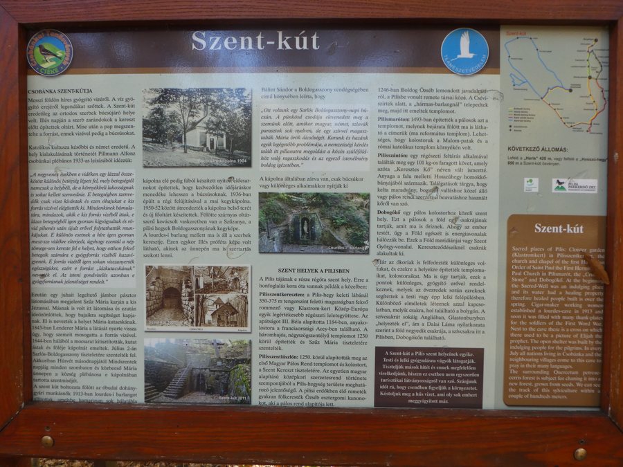
The Szent-kút Trail is a 6-kilometre circular route. It starts at the Csobánka Churches information board in front of the Serbian Orthodox church and returns there. Along the way, the route passes 6 information boards; its elevation difference is 220 metres. Its starting point and length therefore set it apart from the two circular routes at Oszoly Rest Area.
Two other routes start in Margitliget and end at an information board about the churches of Csobánka. The Fehér sziklák Trail is 7 kilometres long and passes 21 information boards. It has a total ascent of 300 metres, a descent of 210 metres and four viewpoints. The Erdőszéli Trail is 5.5 kilometres long and passes 17 information boards; this route has an ascent of 140 metres and a descent of 53 metres. Both start in Margitliget, but differ in length, elevation figures and the number of information boards.
What makes the nature around Csobánka distinctive?
The Dera Stream and its tributary, the Kovácsi Stream, run through Csobánka for more than 2.5 kilometres, creating a variety of habitats. Protected fish species, noble crayfish, dragonflies and numerous bird species live along both streams. This wildlife can also be found in the built-up area of the village. Nature enthusiasts can therefore experience Csobánka in ways beyond its hiking trails: the streams and their habitats are also part of the village landscape.
Which cultural attraction is Csobánka known for?
The Serbian Orthodox church at Hősök tere 4 is a Baroque church dating from 1746 and is protected as a national monument. Its location also serves as a landmark for the Szent-kút Trail: the route starts at the Csobánka Churches information board in front of the church and ends there again after the loop. This makes it possible to combine a cultural point of interest with a specific route description when planning, without implying anything about current opportunities to visit the church.
What should you consider when choosing a route?
First consider whether you want to take a loop that returns to its starting point or a route from Margitliget to an information board near the churches. Distance, elevation figures, the number of information boards and the four viewpoints on the Fehér sziklák Trail give you concrete points of comparison. Oszoly Rest Area, the starting point for the shorter circular routes, is accessible by car from Csobánka’s Fő tér. Visit other village pages via Dunabogdany, Szigetmonostor, Pócsmegyer, Tahitótfalu, Kisoroszi, Horany, Pilisszentkereszt and Leanyfalu.
FAQ
How long is the shortest circular route described?
The Oszoly Trail is 2.25 kilometres long and starts and ends at Oszoly Rest Area.
Which route has viewpoints?
There are four viewpoints along the 7-kilometre Fehér sziklák Trail.
Where is the Serbian Orthodox church?
The Baroque church dating from 1746 stands at Hősök tere 4 in Csobánka and is protected as a national monument.
For the broader travel overview: Szentendrei.

_2.jpg)