
Plateliai – Lake, Cultural Heritage and Cycling Route
Accommodation in Plateliai
Plateliai can be understood through the history of the settlement, designated cultural heritage sites and nearby Lake Plateliai. A circular cycling route around the lake adds a specific connection to the area to your travel planning.
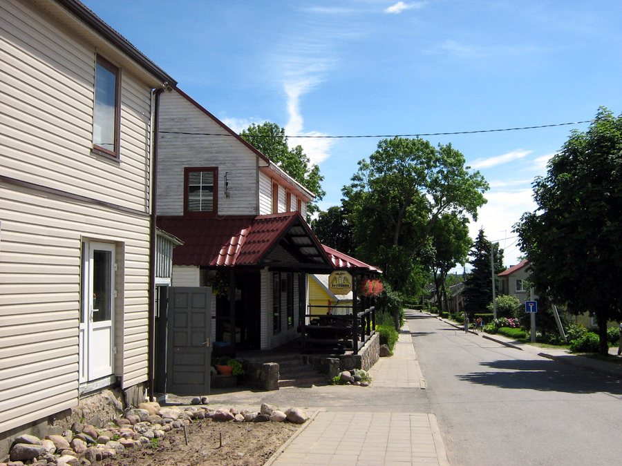 File:Plateliai.2007-06-15.jpg
Photo: Algirdas at Lithuanian Wikipedia via Wikimedia Commons, CC BY-SA 3.0
Key facts about Plateliai
- The settlement of Plateliai has been mentioned in historical sources since the 15th century.
- In 1792, Plateliai was granted Magdeburg rights and a coat of arms.
- Pilies Island and the Šventorkalnis Peninsula, with the former Plateliai Manor, are designated cultural heritage sites.
- Lake Plateliai lies west of Plateliai and is the largest and deepest lake in Žemaitija.
- The lake’s deepest point is about 48.5 m; a 24 km circular cycling route is intended to start and end in Plateliai.
How should you understand Lake Plateliai?
Nearby, Lake Plateliai lies to the west of Plateliai. It is the largest and deepest lake in Žemaitija; its deepest point is about 48.5 m. Its location and superlatives offer different points of reference: its location places the lake in relation to Plateliai, while its size and depth place it in relation to the region.
For your travel planning, the lake is therefore a distinct landscape feature alongside the history of the town. Its approximate depth adds a specific figure to the regional comparison. This lets you consider the lake’s location and its standing among the lakes of Žemaitija as two separate aspects.
What history and cultural heritage sites shape Plateliai?
A description updated in 2023 by the national park administration designates Pilies Island and the Šventorkalnis Peninsula, with the former Plateliai Manor, as cultural heritage sites. For travelers interested in culture, these are specific places to consider as a focus in their own right alongside the history of the settlement.
The settlement of Plateliai has been mentioned in historical sources since the 15th century. In 1792, Plateliai was granted Magdeburg rights and a coat of arms. These details mark different historical milestones: the settlement’s first mention dates back further than the later grant of town rights. This helps place the town’s history in context across more than a single year.
What does the circular cycling route cover?
The 24 km circular cycling route goes around Lake Plateliai and is intended to start and end in Plateliai. The town is therefore part of the route description as its planned starting and ending point. If cycling is a focus of your trip, you can weigh this route as a distinct planning consideration alongside the town’s history and designated cultural heritage sites.
How can you plan your hotel stay?
If you are looking for a hotel in Plateliai, first decide what matters most for your stay: the town’s history, its designated cultural heritage sites or the circular cycling route. You can then compare individual options according to your own requirements.
Discover more destinations: Plungė, Mažeikiai, Varniai, Ubiškė, Rapaliai, Gečaičiai, Luokės Seniūnija, Telšiai.
FAQ
What historical milestones are known for Plateliai?
The settlement has been mentioned in historical sources since the 15th century; Plateliai was granted Magdeburg rights and a coat of arms in 1792.
Which places are designated cultural heritage sites?
The designated sites are Pilies Island and the Šventorkalnis Peninsula, with the former Plateliai Manor.
How long is the circular cycling route, and where is it intended to start?
The route around Lake Plateliai is 24 km long and is intended to start and end in Plateliai.
For the broader travel overview: Telšiai District.

