
Harbutowice
Accommodation in Harbutowice
The approximately 7 km-long Konfederacka Trail passes through scenic and historically significant places in Harbutowice, but it is not a loop. The Las Gościbia Protected Landscape Area adds another natural feature to consider when choosing a destination, with spring-fed streams, Carpathian beech forest, and rare orchid species.
Harbutowice at a glance
- The Konfederacka Trail is approximately 7 km long and is not a loop. Possible starting points include the Harbutowice cemetery or the bus turnaround known as Końcówka.
- The Las Gościbia Protected Landscape Area is located in Harbutowice and covers 281.46 ha.
- Harbutowice lies in the valley of the Harbutówka River. The parish church of pw. Najświętszego Imienia Maryi contains an image of Matki Boskiej Harbutowickiej dating from 1828.
What should you know about the Konfederacka Trail?
When deciding whether this hiking trail suits you, the key details are its approximate length, route type, and suggested starting points. You can start at the Harbutowice cemetery or at the bus turnaround known as Końcówka. Since the trail is not a loop, it is not suited to the expectation of returning to the starting point along a circular route. It passes through the most scenic and historically significant places in Harbutowice. If hiking is a priority for your trip, you can use these details to assess whether this type of trail fits your plans.
What natural features define Harbutowice?
The Las Gościbia Protected Landscape Area covers 281.46 ha. Its distinctive natural features include eight parallel spring-fed streams. Their stony steps form picturesque cascades. The area also includes Carpathian beech forest and habitats of rare orchid species. These waterways, forest, and plant life offer different points of interest for nature lovers to consider when choosing a destination.
Harbutowice lies in the Harbutówka Valley. Another named natural feature is the yew trees of Prof. Marian Raciborski, which grow along a black hiking trail. The trail runs from Harbutowice Ruskówka via Podlesie to the Bieńkowska Góra massif in the Babica Mountains. The place names and the massif give a more precise description of the trail’s route; no information about its length is provided here.
What cultural and technological history is there?
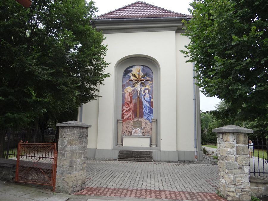
The parish church of pw. Najświętszego Imienia Maryi in Harbutowice was built in the Josephine style. It houses an image of Matki Boskiej Harbutowickiej dating from 1828. The church adds an art and church history dimension to the natural attractions, without requiring an additional route.
In the surrounding area, below the Sanguszki Pass and directly beside Provincial Road 956 on the Harbutowice side, there is a restored stone well structure. It is listed in the municipal register of monuments and is a unique example of a water intake from an architectural and technical perspective. The structure offers another point of interest for travelers who are interested in historic technology as well as landscapes and hiking.
How do you choose a hotel in Harbutowice?
First, consider what you want your stay to focus on. For nature and hiking, the main options are the Konfederacka Trail, Las Gościbia, and the black hiking trail with the yew trees. The church and well structure add religious art and technological history to these highlights.
If you would like to compare other destinations, you can also find Glichów, Borzęta, Jawornik, Wierzbanowa, Skomielna Czarna, Stróza, Dobczyce, and Sieraków here.
FAQ
How long is the Konfederacka Trail?
The trail is approximately 7 km long. It is not a loop and can be started at the Harbutowice cemetery or at the Końcówka bus turnaround.
What makes the Las Gościbia Protected Landscape Area distinctive?
It covers 281.46 ha and includes eight parallel spring-fed streams with stony steps and cascades, Carpathian beech forest, and habitats of rare orchid species.
What work of art is in the parish church?
The parish church of pw. Najświętszego Imienia Maryi contains an image of Matki Boskiej Harbutowickiej dating from 1828.
Where is the stone well structure located?
It is in the surrounding area, below the Sanguszki Pass and directly beside Provincial Road 956 on the Harbutowice side.
For the broader travel overview: Myślenice.

