
Hucisko
Accommodation in Hucisko
Hucisko offers a starting point for hikes on trails with different names: from the route to Babia Góra to routes via Gachowizna and Madohora, several trail descriptions begin at Hucisko railway station. Hucisko is also connected to a main cycling route.
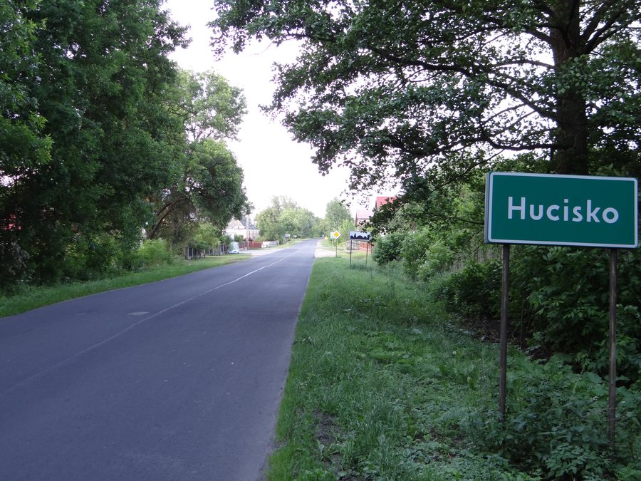
Hucisko at a glance
Hucisko railway station is the starting point for several described hiking trails. Destinations range from Madohora (929 m) via Przełęcz Kolędówki Pass (809 m) to Babia Góra (1,725 m). On a hiking route to Hucisko, the trail markings change from yellow to blue. A cycling route via Pewel Wielka, Jeleśnia, Kiełbasów, Czachówka, and Pewel Mała is listed as a main route by Kolej Beskidzka.
Which hiking trails start in Hucisko?
A blue hiking trail leads from Hucisko railway station via Gachowizna (758 m), Ślemień, and Kocoń to Madohora (929 m). The sequence of places along the way helps distinguish this trail from other routes: both Gachowizna and the two villages of Ślemień and Kocoń lie on the described route. The elevations identify notable points along the trail and give you a concrete reference when choosing between the destinations mentioned.
A green hiking trail runs from the railway station via Koszarawa and Przełęcz Klekociny Pass (848 m) to Babia Góra (1,725 m). Another green-marked connection leads from the station via the “Adamy” mountain hut, Wsiórz, and Stryszawa Siwcówka to Przełęcz Kolędówki Pass (809 m). If you are planning your hike around a summit destination, the route description includes Babia Góra; if you are looking for a pass as your destination, Przełęcz Kolędówki is another named option. The names and elevations make the differences between these routes clear without combining them into a single trail.
How is the route via Jeleśnia marked?
A hiking route leads via Jeleśnia, Janikowa Grapa, Garlejów Groń, Czeretnik, and Gachów Groń to Hucisko. The trail marking colors are given for sections of the Jeleśnia–Garlejów Groń–Czeretnik–Hucisko route: from Jeleśnia to the trail junction below the summit of Gachowizna, the markings are yellow; from Gachowizna to Hucisko, they are blue. The two color-coded sections and the named waypoints provide clear guidance when following this route description. This route is part of the Beskid Żywiecki tourism region.
Which hiking destinations are the focus of the described trails?
The described trails lead to different destinations and each names its own intermediate places. So first consider whether you would rather plan your trip around a hike to Babia Góra, a route to Madohora, or a pass such as Przełęcz Kolędówki.
For a broader comparison of places, you can also visit the pages for Sucha Beskidzka, Zembrzyce, Lachy, Tarnawa Dolna, Białka, Juszczyn, Jordanów, and Grzechynia.
FAQ
Which hiking destinations are described from Hucisko railway station?
The trail descriptions include routes to Madohora (929 m), Babia Góra (1,725 m), and Przełęcz Kolędówki Pass (809 m).
Where do the trail marking colors change on the route via Jeleśnia?
From Jeleśnia to the trail junction below the summit of Gachowizna, the markings are yellow; from Gachowizna to Hucisko, they are blue.
Which cycling route is listed as a main route?
The Hucisko–Pewel Wielka–Jeleśnia–Kiełbasów–Czachówka–Pewel Mała route is listed as a main route by Kolej Beskidzka.
For the wider travel overview: Sucha.

