
Prudnik: City Route and Opawskie Mountains
Accommodation in Prudnik
Prudnik lies at the foot of the Opawskie Mountains. A signposted city route, several cycling routes with specified distances, and the municipality’s location directly on the Czech border give you concrete points of reference for planning your trip.
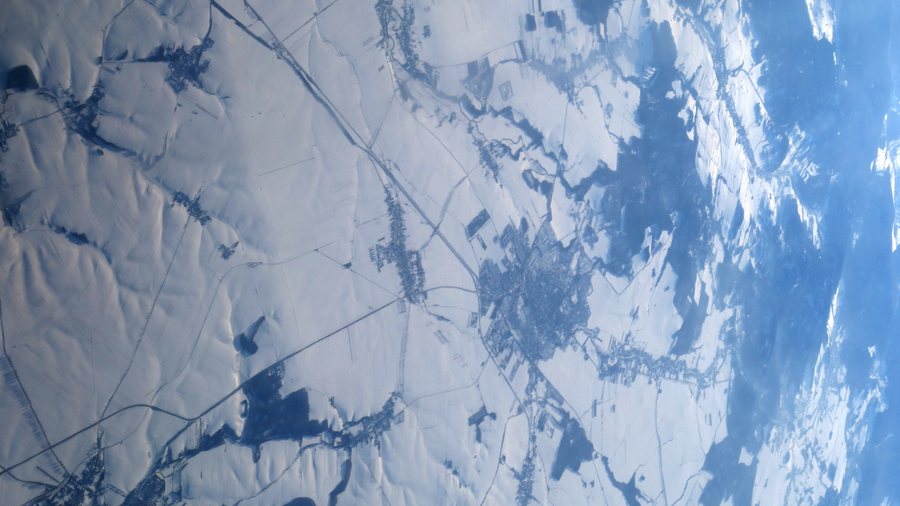
Prudnik at a glance
- The municipality lies at the foot of the Opawskie Mountains, within the Opawskie Mountains Landscape Park and its buffer zone.
- The Prudnicki Szlak Miejski runs for 4.5 kilometres through the most notable places in the town of Prudnik.
- The municipality’s network of multi-purpose tourist trails is 35 kilometres long and includes signposted routes and rest areas with tourist maps.
- The Woka Tower is closed indefinitely until the necessary structural repairs have been completed.
What cultural attractions and city routes are there?
The Prudnicki Szlak Miejski is a signposted route through the most notable places in the town. Its markers are blue and red squares in the town’s colours.
The Muzeum Ziemi Prudnickiej – Arsenał in Prudnik is open Tuesday to Friday from 08:00 to 16:00 and on the second Saturday of the month from 10:00 to 16:00. The Sanktuarium św. Józefa is where Cardinal Stefan Wyszyński was interned in 1954 and 1955. This gives you a range of cultural interests to consider when making your choice: a signposted route through the town, museum visits during the stated opening hours, and a place with a specific connection to Wyszyński’s history.
When planning, also bear in mind that Woka Tower will remain closed indefinitely until the necessary structural repairs are complete. A visit there therefore cannot currently be planned as a tower climb.
What is the landscape around Prudnik like?
The landscape associated with the municipality includes the mountain massifs of Góra Parkowa, Długota and Kobylica, as well as Biskupia Kopa, which also forms a distinctive backdrop to Prudnik. Kobylica is 392 metres high. Above a pond in a former quarry stands a three-metre-high granite obelisk in honour of the Romantic poet Joseph von Eichendorff.
Its location within the Opawskie Mountains Landscape Park and its buffer zone, as well as its immediate proximity to the Czech border, give the destination a distinct landscape and border character. Those wishing to combine an interest in nature and culture can include these landscape features, along with the routes and cultural sites described, in their trip planning. The facts refer to different attractions and places; they do not automatically form a single route.
Which routes are suitable for cycling and horse riding?
For a cycling trip that starts and ends in Prudnik, there are two loop options of different lengths. “Wokół Lasu Prudnickiego – Pętla I” is 20 kilometres long and passes through Łąka Prudnicka, Moszczanka, Wieszczyna and Dębowiec before returning to Prudnik. “Wokół Lasu Prudnickiego – Pętla II” is 13.5 kilometres long; it passes via the Sanktuarium św. Józefa, Rozdroże pod Trzebiną and Dębowiec before returning to town. The distances and places listed for each route provide a practical basis for choosing between them.
The Prudnik–Jindrichov cycling route is 10 kilometres long in total, of which 7 kilometres lie within the municipality of Prudnik. It passes through Dębowiec and across the Polish-Czech border to Jindrichov, and is marked in blue and green. The 15-kilometre Prudnik–Moszna cycling route starts at the Stanisław-Szozda roundabout in Prudnik. For a hike, the M. Orłowicz Trail is also worth considering: it is regarded as the main trail of the Opawskie Mountains and the Polish Sudetes, and starts at Prudnik railway station.
There is also a designated horse-riding route: an 11-kilometre trail marked in yellow runs between Moszczanka and the Sanktuarium św. Józefa. The routes listed differ in activity, length and course; use these specific details to match your choice to the sections you plan to travel.
FAQ
When is the Muzeum Ziemi Prudnickiej – Arsenał open?
It is open Tuesday to Friday from 08:00 to 16:00 and on the second Saturday of the month from 10:00 to 16:00.
How long is the Prudnicki Szlak Miejski?
The signposted city route is 4.5 kilometres long and passes through the most notable places in the town of Prudnik.
Is Woka Tower open?
No. It is closed indefinitely until the necessary structural repairs have been completed.
For the overarching travel overview: Opole.

