
Tworylne: History and Hiking Trails
Accommodation in Tworylne
Tworylne offers points of interest for travelers interested in traces of the past and hiking. The village’s main features include ruins and a cemetery; hiking trails run nearby or lead to Tworylne. The distinctions below can help you balance culture and outdoor activity when planning your trip.
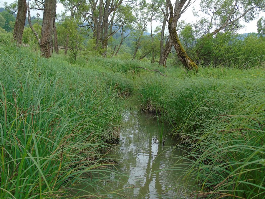 File:Tworylne. Dopływ potoku do rozlewiska bobrowego.JPG
Photo: Zbinx via Wikimedia Commons, CC BY-SA 3.0 PL
File:Tworylne. Dopływ potoku do rozlewiska bobrowego.JPG
Photo: Zbinx via Wikimedia Commons, CC BY-SA 3.0 PL
Tworylne at a glance
- A brick bell tower survives as a ruin, recalling the wooden Greek Catholic Church of St. Nicholas, built in 1876.
- Other historic traces include the remains of a German border post dating from the beginning of World War II, the ruins of a manor barn, and a cemetery divided by an old road.
- A green PTTK hiking trail runs near Tworylne via Bukowina and Żołobina. A red-marked trail leads to Tworylne; an unmarked footpath also continues to the village from Krywe.
What historic traces can you find in Tworylne?
The brick bell tower is now a ruin. It recalls a wooden Greek Catholic church built in 1876 and dedicated to St. Nicholas. The two structures should be distinguished: the church is the historic building commemorated by the surviving tower.
The remains of a German border post have also survived in Tworylne. It was built at the beginning of World War II. The ruins of a manor barn are another historic feature. The bell tower, border post, and manor barn are three distinct historic structures.
Another notable feature is the local cemetery, which an old road divides into two parts. The crypt of a former manor chapel is also nearby. Wincenty Łęcki founded the chapel toward the end of the 19th century. To get your bearings, it is worth distinguishing these places: the cemetery, manor barn, and bell tower are in Tworylne; the crypt of the former manor chapel is near the village.
Which hiking trails lead to or run near Tworylne?
The trails differ mainly in whether they run near the village or lead to Tworylne. The green PTTK hiking trail runs near the now-uninhabited settlement and crosses the peaks of Bukowina and Żołobina. The red-marked Zatwarnica–Hulskie–Krywe–Tworylne hiking trail, by contrast, leads to Tworylne; at this stop, you will find ruins of various buildings and a cemetery.
An unmarked footpath also continues to Tworylne from the manor ruins in Krywe. Unlike the red-marked trail, this section requires you to navigate the terrain. Check current conditions on the red-marked trail before setting out.
How can you combine culture and hiking when planning your trip?
If you are mainly interested in architectural and local history, the bell tower, border post, manor barn, and cemetery offer several points of interest. The bell tower has a clear historical connection to the church of 1876, while the border post dates to the beginning of World War II. The cemetery, meanwhile, is notable for being divided by an old road.
When planning your hike, first distinguish between a trail that runs near Tworylne and trails that lead to the village. The green PTTK trail is described as crossing two peaks, while the red trail leads specifically to Tworylne. The unmarked footpath starts at the manor ruins in Krywe and requires you to navigate the terrain.
Discover more destinations: Stuposiany, Polana, Ustrzyki Dolne, Zatwarnica, Arłamów, Lutowiska, Muczne, Bukowiec.
FAQ
Which historic structures have survived in Tworylne?
A brick bell tower and a manor barn survive as ruins. There are also remains of a German border post built at the beginning of World War II.
Which hiking trails are connected with Tworylne?
The green PTTK trail runs near the village via Bukowina and Żołobina. The red-marked trail leads to Tworylne; an unmarked footpath continues there from the manor ruins in Krywe.
What should you bear in mind when planning a hike?
Check current conditions on the red-marked trail beforehand. The footpath from Krywe to Tworylne is unmarked and requires you to navigate the terrain.
For the broader travel guide: Bieszczady.

