
Stuposiany
Accommodation in Stuposiany
You can get to know Stuposiany through its nature trails, a landmark at the confluence of two rivers, and traces of regional railway history. These topics offer clues to help you understand the place before looking for a hotel.
Stuposiany at a glance
- The “Trasą Kolejki Wąskotorowej” trail is about 8 km long and starts on the Stuposiany–Muczne road.
- The entrance to the “Stare Procisne” nature trail is near a shelter at the confluence of the Wołosaty and San rivers.
- A shelter with a publicly accessible toilet stands at the exit from the village in the direction of Lutowiska.
- The history of the former narrow-gauge railway and the church cemetery belongs to different historical contexts.
How do the nature trails differ?
At about 8 km, the “Trasą Kolejki Wąskotorowej” trail has an approximate length. Its starting point is on the road between Stuposiany and Muczne. Its name itself refers to the history of the narrow-gauge railway, which also played a role in the wider Bieszczady Mountains. If you are interested in this regional past, this trail connects a nature walk with a historical theme.
For the “Stare Procisne” nature trail, the entrance is the key landmark: it is near the shelter at the confluence of the Wołosaty and San rivers, at the exit from Stuposiany in the direction of Lutowiska. The two descriptions emphasize different points: the approximate length of “Trasą Kolejki Wąskotorowej” and the location of the entrance to “Stare Procisne.”
What can you find at the shelter?
The shelter is at the confluence of the Wołosaty and San rivers, at the exit from the village in the direction of Lutowiska. It includes a publicly accessible toilet. The rivers and the direction of Lutowiska help you identify this landmark. The entrance to the “Stare Procisne” nature trail is near the shelter.
For planning purposes, it is helpful to distinguish between the named place and its surroundings: the shelter and its toilet are located at the exit from the village, while the nature trail description gives the location of the nearby entrance. This lets you consider the specific landmarks together without mistaking them for a complete route description.
What railway history shaped the wider travel area?
Small steam locomotives fueled with beechwood logs once ran on the former narrow-gauge railway line in the Bieszczady Mountains. Stuposiany was a point along this regional line. Many bridge abutments and railway embankments remain along the former railway; almost 80 years have passed since it was last used. The remaining structures are considered an attraction for visitors to the Bieszczady Mountains.
The remains are evidence of the former narrow-gauge railway in the Bieszczady Mountains. Both the locomotives used in the past and the surviving bridge abutments and railway embankments are relevant to understanding the past: the former describe how the line operated, while the latter are visible structural remains. Together, they give the subject a historical and landscape dimension.
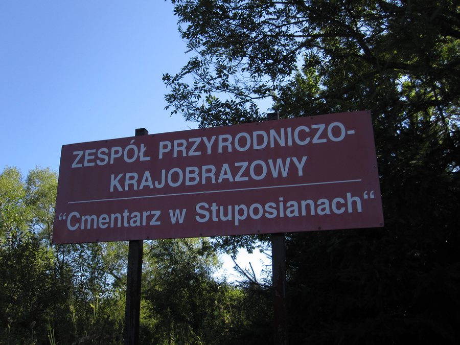
Another historical landmark more specifically tied to the village is the church cemetery in Stuposiany. After the Second World War, there were about 60 tombstones there. The church cemetery is part of the village’s postwar history, while the railway belongs to regional history.
You can also discover Brzegi Górne on another destination page.
Discover more destinations: Bukowiec, Muczne, Zatwarnica, Dwernik, Ropienka, Tworylne and Smolnik.
FAQ
How long is the “Trasą Kolejki Wąskotorowej” trail?
The trail is about 8 km long. It starts on the Stuposiany–Muczne road.
Where does the “Stare Procisne” nature trail begin?
The entrance is near the shelter at the confluence of the Wołosaty and San rivers, at the exit from Stuposiany in the direction of Lutowiska.
What remains of the narrow-gauge railway?
Many bridge abutments and railway embankments remain along the former regional line. Small steam locomotives fueled with beechwood logs once ran there.
For the broader travel overview: Bieszczady.

.jpg)