
Tama on the Czarna Konecka: Kayak Route and Local History
Accommodation in Tama
Tama is located in the Konecko-Łopuszniański Protected Landscape Area. The informal kayak route can be paddled at the wooden road bridge over the Czarna Konecka; the remains of a cholera cemetery dating from the late 19th century have been preserved in the woods near the village.
Key facts about Tama
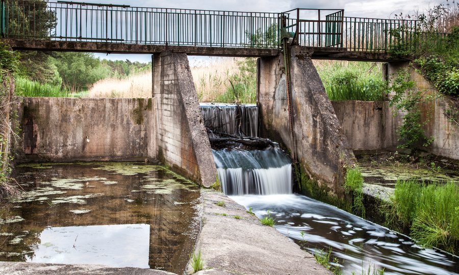
- Municipal road 003116T crosses the Czarna Konecka over a wooden road bridge between Machory and Tama.
- The 85-kilometre kayak route on the Czarna Maleniecka, also known as the Czarna Konecka, is informal and unmarked. The Maleniec–Machory–Tama bridge is at river kilometre 34.0.
- Tama is located in the Konecko-Łopuszniański Protected Landscape Area. A cholera cemetery dating from the late 19th century lies in the woods near Tama.
What does the wooden bridge help you locate?
A municipal document dated 14 August 2025 gives the wooden road bridge’s length as 10.45 metres and its width as 6.30 metres. The roadway is 8.30 metres long and 5.90 metres wide. The two sets of measurements therefore refer to different parts of the structure: the bridge as a whole and its roadway.
Municipal road 003116T crosses the bridge between Machory and Tama. The same crossing is listed at river kilometre 34.0 on the kayak route. This makes it possible to locate the road crossing and the river position separately, without confusing the roadway measurements with those for the bridge as a whole.
How can you gauge the kayak route near Tama?
The kayak route on the Czarna Maleniecka, also known as the Czarna Konecka, stretches for 85 kilometres. It is informal and unmarked; at the Maleniec–Machory–Tama road bridge, the river can be paddled at kilometre 34.0. Water levels, obstacles and navigability can change with the seasons. If you are planning a trip, check conditions shortly beforehand.
Beyond the bridge, the Czarna Maleniecka flows straight, wide and regulated towards Kołoniec. The river is also described as mostly regulated along the municipal stretch between Cieklińsko and Kołoniec. This makes that stretch more accessible to beginners as well; the regulation works referred to were completed in 1975–1980. This assessment applies to the specified municipal stretch, not to the entire 85-kilometre route.
What do the landscape and local history tell you?
Its location in the Konecko-Łopuszniański Protected Landscape Area gives Tama a scenic setting, while the road bridge and river help orient visitors following the kayak route. Another historical point of interest lies in the woods near Tama: the remains of a cholera cemetery dating from the late 19th century have been preserved there. Residents of nearby villages, including Żarnów and Maleniec, are buried there.
A local historical account describes reaching the cemetery via a forest track from Tama towards the paved Maleniec–Wyszyna Rudzka road. Check the route on site before visiting. A 2012 account lists three stone grave markers in the cemetery; that number may have changed. If you plan to visit the cemetery, take into account both the directions and the fact that the grave-marker count is from an older report.
Discover more destinations: Strzeboszow, Ruda Maleniecka, Fałków, Stąporków, Sielpia Wielka, Konskie.
FAQ
Where can you paddle the kayak route near Tama?
River kilometre 34.0 of the 85-kilometre, unmarked kayak route is at the Maleniec–Machory–Tama road bridge. Water levels, obstacles and navigability can vary seasonally; check conditions before setting out.
What are the dimensions of the wooden road bridge?
A municipal document dated 14 August 2025 gives the bridge as a whole as 10.45 metres long and 6.30 metres wide. The roadway measures 8.30 metres long and 5.90 metres wide.
What should you know about the cholera cemetery near Tama?
The remains of a cemetery dating from the late 19th century have been preserved in the woods near Tama; residents of nearby villages, including Żarnów and Maleniec, are buried there. A local historical account describes access via a forest track towards the Maleniec–Wyszyna Rudzka road. Check the route on site. The three stone grave markers were recorded in a 2012 count; their number may have changed.
For the broader travel overview: Końskie.

