
Lacu Roșu – Nature, Gorge and Viewpoints
Accommodation in Lacu Roșu
Lacu Roșu and Cheile Bicazului together form a distinctive destination in Romania. Cheile Bicazului begin in the lower reaches of Lacul Roșu. The gorge stretches for 6 km along the Bicaz River, connects Transylvania with Moldavia and, together with the lake, forms a unique tourist ensemble in Romania.
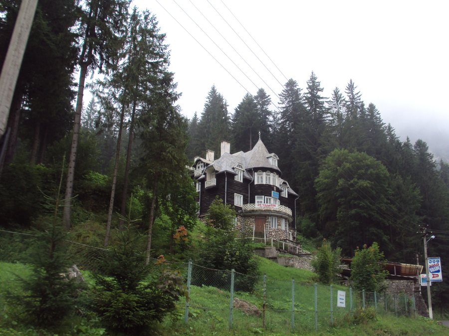
According to local legend, Lacul Roșu came into being after Eszter’s curse was fulfilled. The lake swallowed the robber who wanted to oppress her, and the fir-tree trunks submerged in the lake preserve her memory to this day.
Nature and Protected Area
Cheile Bicazului–Hășmaș National Park was established in 1990 as a protected national park area to preserve biological diversity, the landscape and valuable species, as well as to promote ecotourism. It is part of the Natura 2000 sites ROSCI0027 Cheile Bicazului–Hășmaș, a site of Community importance covering 7,642 ha, and ROSPA0018 Cheile Bicazului–Hășmaș, a bird protection area covering 7,961 ha. Lacul Roșu belongs to Cheile Bicazului–Hășmaș National Park.
Landscape and Viewpoints
The Piatra Ghilcoş viewpoint offers a comprehensive view of Lacul Roșu and the surrounding area. The view includes Mount Licaş at 1,675 m, Suhardul Mare at 1,507 m, as well as Suhardul Mic, Făgetul Ciucului, Piatra Poienii, Mount Ghilcoș, Surduc and the peaks of Ceahlău. The plateau of Suhardul Mic is also a viewpoint offering panoramic views of the resort of Lacul Roșu and the side valley of Valea Oii, surrounded by wooded ridges and distinctive peaks.
Further destination pages: Cristuru Secuiesc, Băile Homorod, Frumoasa, Ciceu, Făgeţel, Dittersdorf, Subcetate, Sub Cetate
Trails and Experiences
BIKKLA offers e-bike exploration tours in the Lacu Roșu and Cheile Bicazului area. Specially marked and digitized routes, a map and explanations of the route are available for this purpose. The “Wild Ferenc” via ferrata was opened in autumn 2016 on Suhardul Mic at an altitude of 1,345 m near Lacul Roșu in Cheile Bicazului, in Harghita County.
The different types of activities, along with the information on distance and duration, provide points of comparison for planning your day. The Lacu Roșu–Cheile Bicazului–Cheile Bicăjelului–Lacu Roșu circular route offers views of rock faces and the small waterfalls of the Bicăjel. At the same time, it is a moderately difficult hike covering 10.9 km and taking 5 hours to 5 hours 15 minutes.
The Lacu Roșu–Valea Oii–below Poiana Albă hiking trail connects Lacu Roșu with the ridge trail of the Hășmaș Mountains and follows the Oii stream valley. It involves around 600 m of elevation gain, takes approximately 4 to 5 hours and can be hiked year-round.
The Lacu Roșu–Păstrăvărie–Lacu Roșu circular route starts at the car park of the Lacu Roșu Hotel, passes the Lacu Roșu Restaurant and continues through a forest section to the Balconul de Piatră viewpoint after an ascent of approximately 350 m.
To the higher-level travel overview: Harghita.

