
Čím: Hotels and Accommodation
Accommodation in Čím
The built-up part of Čím lies in a shallow depression on the Meredský potok stream, between the wooded ridges of Višňovka and Nad Hesovnou to the north and the higher terrain formed by Spálený vrch and Ostrý vrch to the south. The Vltava practically forms the eastern boundary of the cadastral area of Čím.
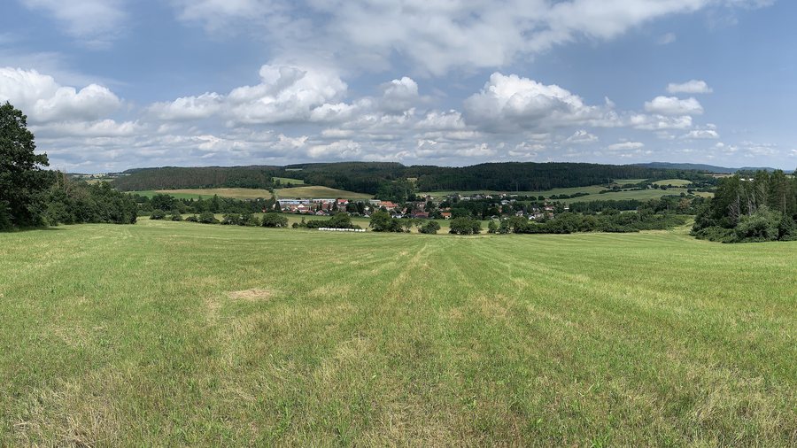
Landscape and Local Area
Hrdlička is the largest of several holiday settlements with weekend houses in the cadastral area of Čím.
History and Local Character
The earliest written mention of Čím dates from 1316; at that time, Jindřich of Čími is named in the land registers.
The municipal chapel of Čím was built in 1901 on the site of an earlier wooden bell tower. It took over its function; its bell was rung in the event of deaths, fires, or other significant events.
In 1521, the Čámech fortress was assigned to the Netvořice estate; it is said to have stood above the pond at Čím. North of Čím, remains of fortifications and a ditch are said to have survived at the possible site of the fortress known as “Dírná”.
Water and Surroundings
The Central Bohemian recreational area around the Slapy Reservoir offers beaches, swimming, boat trips, and water sports.
Mount Vesely is located in the immediate vicinity of Čím. The mountains of Jáchym, Ďábel, and Točna, as well as the Malá Svatá Hora church, are located around Čím.
In the wider regional area are Konopiště Chateau, Karlštejn Castle, and the Church of Svatá Anna.
Transport Connections
Road III/10217 runs from Korkyně via Čím to Buš. Road III/11429 connects Čím with Křeničná.
Other Places
Other local pages: Vranovice, Klucenice, Voznice, Trhové Dušníky, Hreben, Věšín, Pouste, Oboz.
For the higher-level travel overview: Příbram District.

