
Choťánky: Hotels and Accommodation
Accommodation in Choťánky
Choťánky combines references to the history of a medieval fortress with a landscape shaped by former courses of the Elbe.
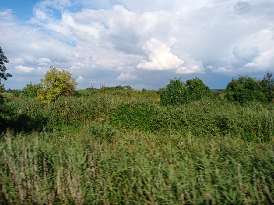 File:Choťánky, pohled do krajiny 01.jpg
Photo: I would appreciate being notified if you use my work outside Wikimedia. More of my work can be found in my personal gallery . via Source, CC BY-SA 4.0
File:Choťánky, pohled do krajiny 01.jpg
Photo: I would appreciate being notified if you use my work outside Wikimedia. More of my work can be found in my personal gallery . via Source, CC BY-SA 4.0
Nature and River Landscape
Louky u Choťánek is a protected natural monument covering an area of 141.5349 hectares. The area comprises a mosaic of floodplain meadows, pools, reed beds, and willow and alder groves.
Choťánky was presumably originally located on the banks of the Elbe. After the Elbe changed its course, oxbow lakes remained. In the 15th century, these oxbow lakes together formed an extensive network of ponds typical of the Poděbradsko region.
History and Archaeology
The historic bell tower of Choťánky was built in 1882. Choťánky Fortress was mentioned in 1345 as part of the Poděbrady estate and later became the seat of ministeriales.
The fortress known as Kočičí hrádek probably disappeared during the Hussite siege of Poděbrady in 1426.
Archaeological excavations revealed that Choťánky dates from the same period as Slavník Libice. Archaeological excavations along the road from Vrčení to Choťánky uncovered finds from the Neolithic and Hallstatt cultures.
Paths Through the Landscape
The Libice educational trail runs through the Louky u Chotánek natural monument to Poděbrady. Cycle Route 8194 connects Choťánky with Libice nad Cidlinou.
More Locality Pages
More locality pages in the catalogue: Kounice, Křinec, Městec Králové, Podmoky, Prerov Nad Labem, Nimburg, Bobnice, Chotesice.
For the higher-level travel overview: Nymburk District.

