
Bohdašín: Rokole, Chapels and Views
Accommodation in Bohdašín
Bohdašín lies in the foothills of the Orlické Mountains. The landscape includes views of the Elbe lowlands and the Krkonoše Mountains. In the built-up part of the village, a chapel dated 1826 stands at an intersection opposite house no. 47. Its prismatic bell tower gives the building a distinctive form. On the edge of the village, on the road to Slavoňov, there is also a sandstone group depicting Calvary.
History
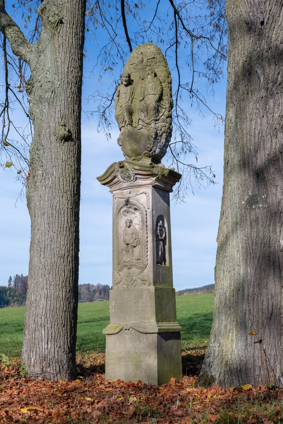
Bohdašín formerly belonged to the Frymburk estate. Iron ore was mined around Bohdašín and Bydlo around 1446; ironworks were also established there. The history of the village thus encompasses both its former association with the estate and iron processing in the surrounding area. The religious monument on the present-day edge of the village adds a still-visible structure to these historical connections.
Rokole and Religious Buildings
Rokole is a named pilgrimage site in Bohdašín and a Marian pilgrimage site that arose at the location of an apparition of the Virgin Mary. The Rokolský kostel is a pseudo-Gothic church dedicated to Our Lady of Rokole. It was built in 1930 and consecrated on 19 August 1945.
Rokole also contains a wooden Loreta. The passageway, open at the front, displays images of the Seven Sorrows of Mary. Opposite Rokole, a Stations of the Cross with cast-iron reliefs on stone columns was built in the forest in 1874. Another religious site is the Schönstatt Chapel in Rokole. It was consecrated on 19 July 1997 and is considered the first original Schönstatt shrine in Bohemia. The church, Loreta, Stations of the Cross and chapel represent different architectural forms and periods of construction within the pilgrimage site. Current opening hours for the churches, chapels and Loreta can be checked before visiting.
Paths and Bus Stop
The Cesta manželů trail runs along ponds. Along its route are 15 panels with texts and sculptures. A marked hiking route leads from Rokole to Bohdašín: it initially follows a green-marked trail and then a blue-marked trail. The bus stop is called “Bohdašín, V Propasti”. For a marked hiking route, checking current information about the route and trail conditions is part of the preparation. For using the named bus stop, checking current timetables before the journey is standard preparation.
Geographical Location
Frymburk Castle is located in the vicinity of Bohdašín. It was used from the 14th to the 17th century. Its grounds include an 18.5-metre-wide donjon on the castle spur. The ruins lie near Nový Hrádek on a high rocky spur around which the Olešenka River flows. Thus, the vicinity of Bohdašín combines a historic castle complex with a prominent location along the river. Before visiting historic sites, current opening hours of the respective facility can be checked.
Other places on the same level are Osečnice, Podbřezí, Semechnice, Pohoří, Dobré, Lukavice, Voděrady and Bolehošť.
For the higher-level travel overview: Okres Rychnov Nad Kněžnou.

