
Dětřichov: Hotels and accommodations
Accommodation in Dětřichov
Dětřichov lies in a valley at the western tip of the Jizera Mountains and on the Oleška River. The defining local and landscape features include an educational trail on the outskirts of the village, as well as historic evidence from the church, crafts, and railway history.
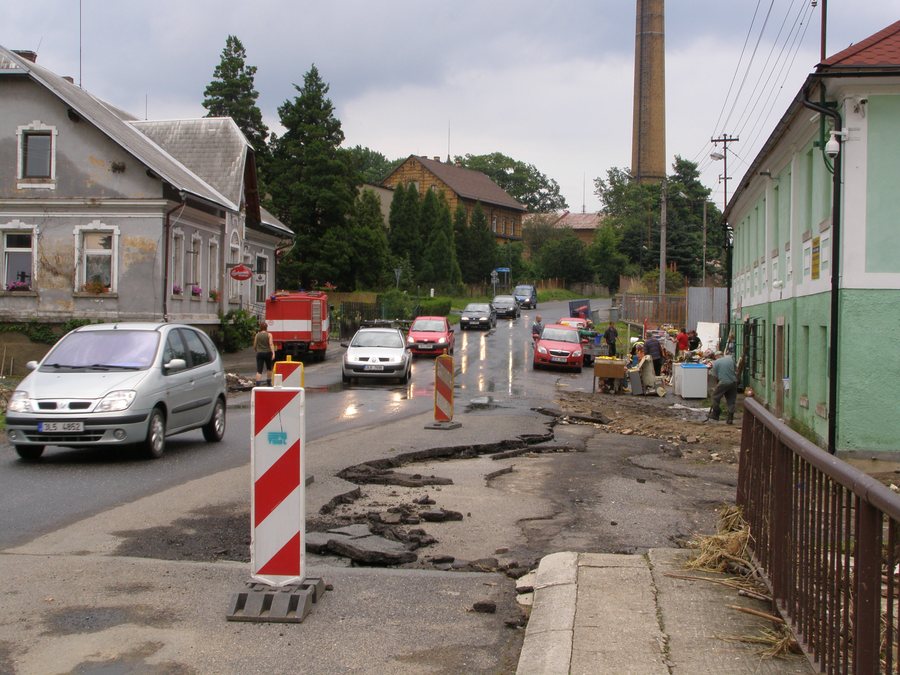 File:Dětřichov, povodeň 2010, důsledky 04.jpg
Photo: Daniel Baránek via Wikimedia Commons, CC BY-SA 3.0
File:Dětřichov, povodeň 2010, důsledky 04.jpg
Photo: Daniel Baránek via Wikimedia Commons, CC BY-SA 3.0
Nature and trails
The Pašerácká NS educational trail runs along the outskirts of Dětřichov. The village’s location in a valley at the western tip of the Jizera Mountains and on the Oleška River provides the geographical setting.
Church and cultural monuments
The Church of St. Anne in Dětřichov was first mentioned in 1409. After several reconstructions, it acquired its present form toward the end of the 19th century.
The half-timbered farmstead No. 67 in Dětřichov is a cultural monument. It has both a half-timbered structure and an enclosing perimeter wall.
Industrial and railway history
The former C. A. Preibische mechanical weaving mill is located in the center of Dětřichov. The tallest of the three factory chimneys remains from the former weaving mill; it is 65 meters high.
The Heřmaničky narrow-gauge railway connected Dětřichov with Frýdlant and Kunratice. A section of the Heřmaničky narrow-gauge railway line has been preserved below the cemetery in Dětřichov near house No. 223.
Public transport
The IDOL transport zone 6015 in Dětřichov includes four bus stops.
More local pages: Vrtky, Vselibice, Doubi, Pěnčín U Turnova, Horní Řasnice, Žďárek, Nová Ves U Chrastavy and Jablonné V Podjestedí.
For the overview of the wider travel area: Liberec District.

