
Krchleby: Hotels and Accommodation
Accommodation in Krchleby
Cycling route 6203 begins in Krchleby and leads via Pobučí towards Jestřebíčko. It is 8 km long and classified as easy to moderately difficult. Cycling route 6234 also passes through Krchleby along the Jahodnice – Krchleby – Bušínov – Lupěné route.
Outdoors
Krchleby is situated in a hilly, partly wooded landscape. The surrounding terrain is suitable for moderately difficult cross-country skiing excursions. The quiet roads in the nearby area, lined with long avenues of cherry trees, make pleasant routes for cyclists. There is a rest area for cyclists with an information board in the centre of Krchleby.
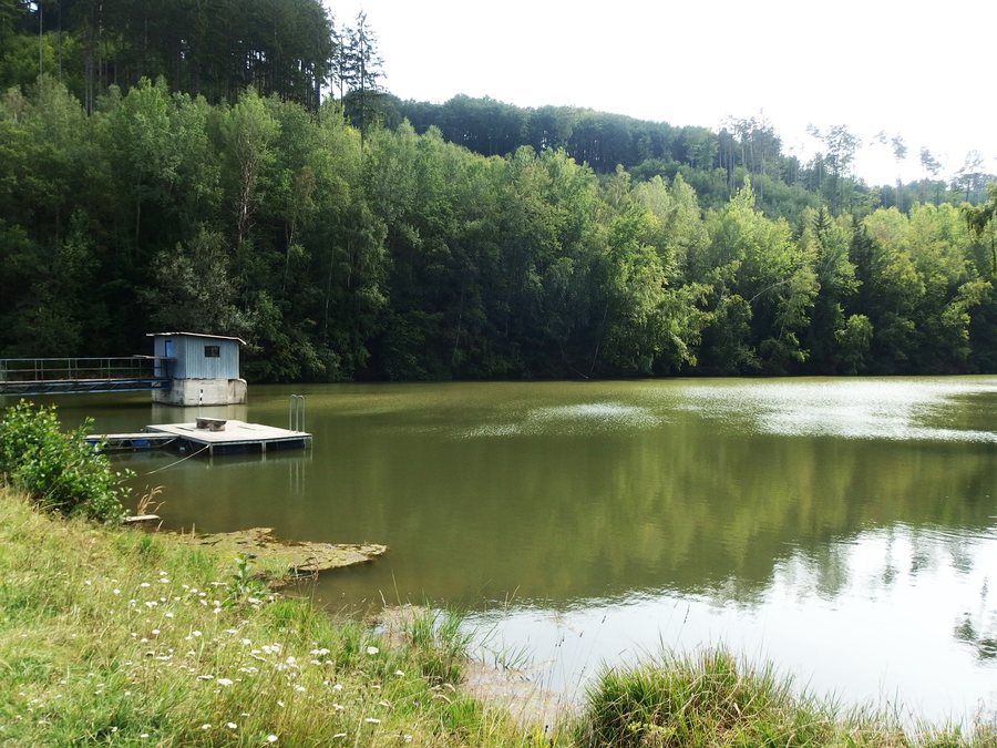
Beyond Krchleby, a hiking trail branches off from the road to Pobučí to the settlement of Dolní Bušínov, 1.5 km away, which is also known by the popular name Bozéňov. Dolní Bušínov is a well-known recreational area offering opportunities for sports and swimming in the local reservoir.
History
Krchleby and Bušínov have been mentioned together in historical sources since 1273, in connection with the episcopal town of Mohelnice. In the vicinity of Krchleby, there were several attempts to mine iron ore and graphite in the mid-19th century; limestone was also extracted there and burned to produce lime.
Places of Interest
Historic columns with a group of figures depicting the Holy Trinity mark the hiking trail from Mírov to Krchleby. The Chapel of the Virgin Mary dates from 1920 and stands on the road from Mohelnice towards Maletín. A coarse-grained sandstone cross bearing a figure of Christ has the year 1857 inscribed as the year the monument was created. The monument to the victims of the First World War in Krchleby was erected in 1928.
Other Places
Oskava, Stavenice, Vyšehoří, Klopina, Dlouhá Ves, Potůčník, Horní Studénky, Leština
To the higher-level travel overview: Šumperk District.

,_Horn%C3%AD_n%C3%A1dr%C5%BE.jpg)