
Liboměřice: Hotels and Accommodation
Accommodation in Liboměřice
A signposted local cycle route runs through Liboměřice. Cycle Route 4177 also passes through the village and continues to Samařov; it is 37.5 kilometres long in total.
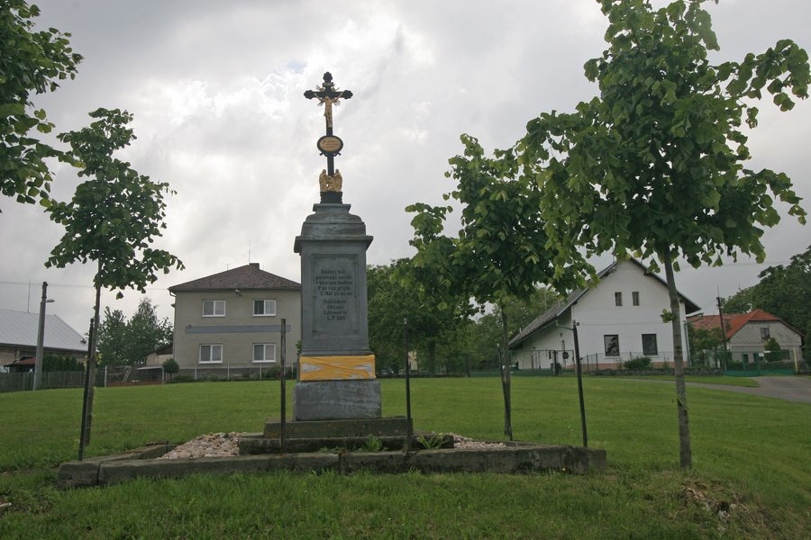
Nature and History
Liboměřice is located in the immediate vicinity of the Železné hory Protected Landscape Area. The area can be explored via numerous cycle paths and marked hiking trails; its landscape is characterised by forests, meadows, ponds, fields and small settlements. People from around sixty villages in this area originally wanted to build their church in Liboměřice; instead, Hradiště was chosen.
Landscape and Trails
In the municipality of Liboměřice, forests cover 26 percent of the area; ponds and other bodies of water cover 2 hectares. There is a small pond to the north of the village, while larger ponds are located southwest and east of the village.
The NS Krajem Chrudimky educational trail follows the course of the Chrudimka from its source to Chrudim.
History
The historic village of Liboměřice is believed to have been established in 1329. Until the Toleration Patent was issued in 1781, secret Protestant services were held in the Meduna barn in Liboměřice.
Transport Connections
Bus route 620706 connects Chrudim, Rabštejnská Lhota, Křižanovice, Liboměřice, Bojanov and Seč.
Other Places
Other places: Bousov, Chrast, Stolany, Luže, Hlinsko V Cechách, Kostelec U Heřmanova Městce, Zderaz, Bestvina
For the higher-level travel overview: Chrudim District.

