
Vyžice: Hotels and Accommodation
Accommodation in Vyžice
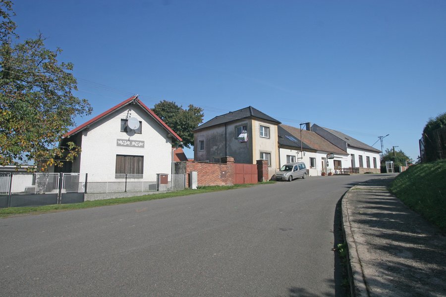
Vyžice is a foothill village at an elevation of 380 m on the northern peak of the Železné hory mountains. The Jeníkovický potok stream flows through the village, while Vyžice is surrounded by extensive forests. The terrain in this area is hilly and crossed by a system of small ponds.
Routes
Cycle route 4127 leads from Dolní Raškovice to Vyžice and is 6.2 km long. In addition, an 11 km-long green-marked hiking trail leads from Lichnice via Lovětínský rybník, Sušice, Vyžice and Konopáč to Heřmanův Městec.
History and Local Culture
Vyžice was founded as a forest-green village in the middle of a forest. The history of Vyžice dates back to 1382. The first mention of Vyžice is associated with the year 1229.
A cross with a bell tower stands in the centre of Vyžice. The wooden post bell tower next to the cross was reconstructed in 1943. Traditional public events are also held in Vyžice.
More Local Pages
More local pages: Jenišovice U Chrudimi, Dolívka, Prachovice, Hodonín U Nasavrk, Prosec, Lany, Bítovany, Úherčice.
To the higher-level travel overview: Chrudim District.

