
Dívčí Kopy among landscapes, cycling routes and culture
Accommodation in Dívčí Kopy
Rural landscape in South Bohemia
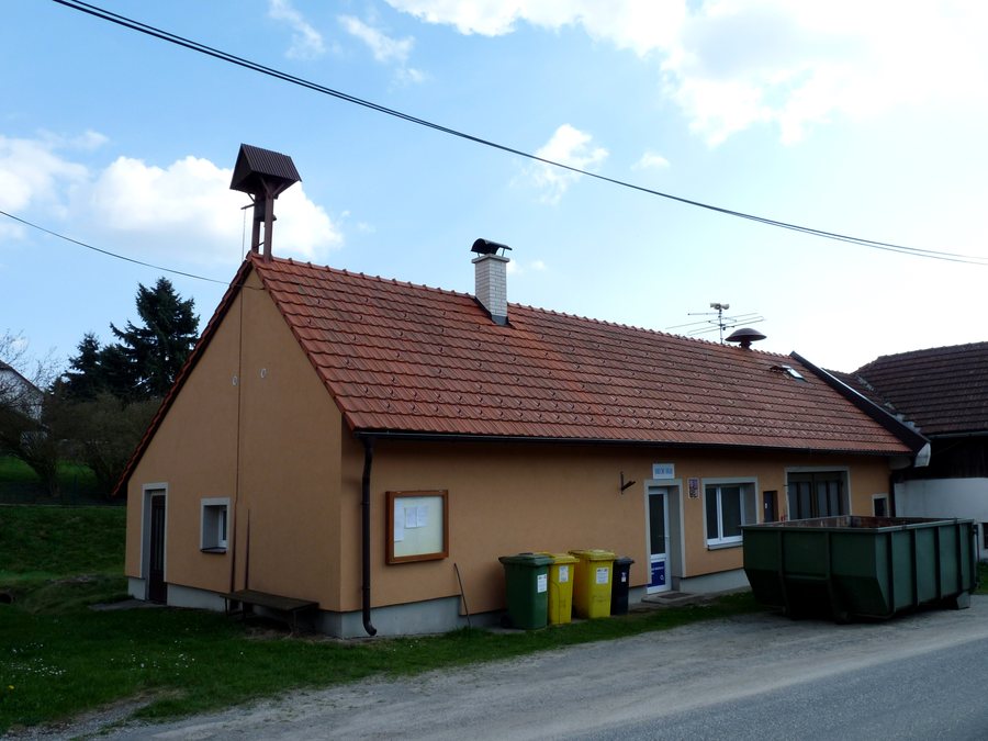
Dívčí Kopy is situated in the South Bohemian countryside, amid fields, meadows, forests and ponds. The village is surrounded by extensive fields, meadows and mixed forests. For visitors who consider nature a concrete part of choosing a destination, Dívčí Kopy offers a rural setting. Fields and meadows provide open spaces, while mixed forests and ponds complement the landscape with further clearly distinguishable natural features.
Orientation for your journey
For geographical orientation, Dívčí Kopy is located approximately 3 km from the main road between Pelhřimov and Jindřichův Hradec. There are two bus stops in the village. The approximate road distance and the two stops offer different perspectives on arriving at the destination. Those who incorporate the village’s location practically into their travel planning can consider its connection to the main road and the bus stops as separate points of orientation.
Hills and mountains in the surrounding area
Kostelík is located in the immediate surroundings of Dívčí Kopy. The distinctive hill reaches an elevation of 602 metres above sea level. Cihadlo is a mountain in the vicinity of Dívčí Kopy, Hluboká is a mountain in the vicinity of Dívčí Kopy, and Podstupský vrch is a mountain in the vicinity of Dívčí Kopy. Landscape planning therefore includes several independent elevations with different names and classifications in the area around Dívčí Kopy.
Cycling route to Kostelík
A cycling route leads from Dívčí Kopy to the hill of Kostelík. The route to Kostelík offers a fine view of the surrounding area, including Nová Včelnice. For visitors who want to combine landscape and physical activity, this cycling connection is clearly defined: Dívčí Kopy is the starting point, Kostelík the destination, and Nová Včelnice forms part of the view mentioned.
Mixed forests and mushroom picking
The mixed forests around Dívčí Kopy are considered rich in mushrooms and a good area for mushroom pickers. Alongside the cycling route, this adds a nature-focused activity in the forest.
Local history since the 13th century
The first written mention of Dívčí Kopy dates back to 1267, placing the village in the 13th century. The landscape, elevations and cycling connections thus receive a historical dimension that can be linked to a specific year.
Cultural destinations in the wider regional area
Janštejn is a ruin in the wider regional area around Dívčí Kopy. Landštejn is a castle in the wider regional area around Dívčí Kopy. Roštejn is a castle in the wider regional area around Dívčí Kopy. Svatý Ondřej is a church in the wider regional area around Dívčí Kopy. For those interested in culture, the range therefore extends from a ruin through castles to a church. These different categories provide several historical and cultural points of reference for trip planning, without removing the individual sites from their respective classifications.
Other places in the same area
Other places in the same broader area: Kostelní Vydří, Heřmaneč, Střížovice U Kunžaku, Smrzov, Bednáreček, Lomnice Nad Luznicí, Ponědrážka and Kostelní Radouň.
Another cycling circuit
A 36 km cycling circuit between Deštná and Nová Včelnice runs along paved and asphalted surfaces.
To the broader travel overview: Okres Jindřichův Hradec.

.jpg)