
Jetětice: Hotels and Accommodation
Accommodation in Jetětice
Landscape and Water
Jetětice lies in the western part of the Tábor Uplands at an elevation of 447 m. The Orlík Reservoir forms Jetětice’s natural southwestern boundary.
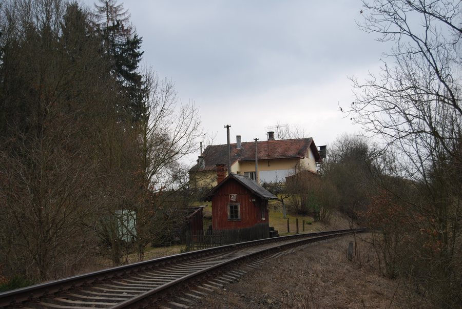
Jetětice railway station is integrated into the public transport system.
You may wish to book a hotel for your stay in Jetětice.
Culture
The Červená–Jetětice railway bridge, dating from the late 19th century, was the first railway bridge in the Bohemian lands to be built using the balanced cantilever method without falsework. It is listed as a cultural monument.
The Chapel of Our Lady of Lourdes is located in Jetětické Samoty in the cadastral area of Jetětice.
Hiking
The “Along the Orlík and Two Tributaries” hiking route begins at Jetětice railway station and follows the Jetěnický Brook to its confluence with the Orlík Reservoir. Along this hiking route, a red-marked trail leads to the mouth of Hrejkovický Brook.
The red-marked Milevsko–Jetětice hiking trail is connected with the Květov game reserve. To facilitate the use of footpaths and hiking trails in the Květov game reserve, a tourist crossing aid is planned at Lesácká on a plot of land in the cadastral area of Jetětice.
More local pages: Oslov, Pisek, Zbelítov, Lety, Hrejkovice, Skály, Kovářov, Kestřany.
To the higher-level travel overview: Písek District.

_-_okres_P%C3%ADsek_01.JPG)