
Matějov: Hotels and Accommodation
Accommodation in Matějov
The Matějovský rybník pond is located in the municipality and cadastral area of Matějov. It is surrounded by wetlands and peatland meadows with species-rich sedge communities.
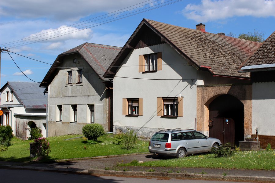 File:Matějov.jpg
Photo: Pavel Hrdlička (Czech Wikipedia user Packa ) via Wikimedia Commons, CC BY-SA 3.0
File:Matějov.jpg
Photo: Pavel Hrdlička (Czech Wikipedia user Packa ) via Wikimedia Commons, CC BY-SA 3.0
Nature
On the meadows around the Matějovský rybník pond, bogbean (Menyanthes trifoliata) and tussock cottongrass (Eriophorum vaginatum) grow. The Babínský rybník pond is also located in the cadastral area of Matějov. It has a water surface of 8.3 hectares and lies in the source area of the Oslava. Its acidic, peat-coloured water and the shores with sedges, rushes, cottongrass and peat mosses are among the area's distinctive landscape features.
The mountains of Rosička and Blažkov are located in the immediate vicinity of Matějov. The mountains of Světka and Dědkovská hora are also located in the surrounding area. Smetanovy sady, a park, lies in the wider regional surroundings of Matějov.
Exploring the Countryside
The Babín educational trail passes through the best-preserved natural areas of the Žďárské vrchy. It explains to visitors the special role of forests, peatlands, wetlands and ponds in nature.
Culture
Construction of the Chapel of the Name of the Virgin Mary in Matějov began in 1907 according to plans by the builder Josef Křelina from Žďár Chateau. The chapel's furnishings were completed in 1910; it was consecrated in the same year.
In Matějov stands the early Baroque stone wayside shrine Boží muka on the outskirts of the village, on the road to Nové Veselí. It is topped by a four-sided chapel with niches.
Other Places
Other local pages: Moravec, Chlum-Korouhvice, Rozsochy, Dobra Voda, Baliny, Radňovice, Strachujov, Křoví.
For the higher-level travel overview: Žďár nad Sázavou District.

