
Nimpšov: Hotels and Accommodation
Accommodation in Nimpšov
Nimpšov lies on the right bank of the Syrovický potok stream. A substantial part of the original village layout has probably been preserved here; original farmsteads along the main thoroughfare and around the village square shape the historic character of the place.
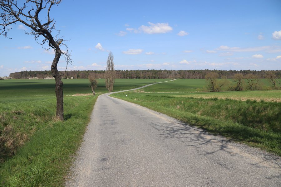 File:Overview of road III 4113 near Nimpšov, Třebíč District.jpg
Photo: Jiří Sedláček via Wikimedia Commons, CC BY-SA 4.0
File:Overview of road III 4113 near Nimpšov, Třebíč District.jpg
Photo: Jiří Sedláček via Wikimedia Commons, CC BY-SA 4.0
Villagescape and History
Within the built-up area is Návesní rybník, a pond of urban-planning significance. Nimpšov was founded on the site of an old farmstead called Neuhoff.
Location and Routes
A road branching off to the northeast connects Nimpšov with the road between Dědice and Nové Syrovice. The Graselova stezka trail passes through the village.
The 10 km-long Graselova stezka Nové Syrovice hiking route runs through the surroundings of Nimpšov; it is marked with a yellow G. Along this route, visitors reach the Habrová seč and U Lusthausu nature reserves.
Nature
The mountains of Svatý Vít, Špičák, Modrácký kopec and Rudný are located in the surroundings of Nimpšov.
Culture
The local event “Maypole Raising and Witch Burning” is listed in Nimpšov for 2025 and 2026. Svatá Markéta, a church, is located in the surrounding area.
In the wider region are Schloßberg, a ruin, Karlslust Castle, a chateau, and Heimatkreuz, a wayside shrine.
Further destinations: Stařeč, Čáslavice, Kouty, Naloučany, Biskupice-Pulkov, Krahulov, Račice, Hluboké
To the main travel overview: Třebíč District.

