
Mrzygłód: Hotels and Accommodation
Accommodation in Mrzygłód
Słonny and Kopacz lie in the immediate vicinity of Mrzygłód – a point of orientation relevant to travellers interested in the landscape around the town.
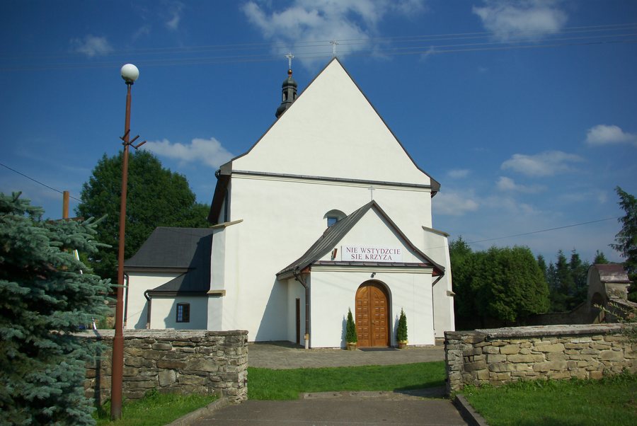 File:The Mission of the Saint Apostles church in Mrzygłód 1.jpg
Photo: Lowdown via Wikimedia Commons, CC BY-SA 3.0
File:The Mission of the Saint Apostles church in Mrzygłód 1.jpg
Photo: Lowdown via Wikimedia Commons, CC BY-SA 3.0
For travellers wishing to book a hotel in Mrzygłód, the following information provides an objective overview of the town.
Margiel lies in the surrounding area of Mrzygłód.
Słonne lies in the wider regional surroundings of Mrzygłód.
Geographical location
Mrzygłód lies on the left bank of the San, between wooded mountains and around 15 kilometres north of Sanok.
Culture
Mrzygłód was historically associated with pottery; the pottery tradition continued until the mid-20th century but has since disappeared. For travellers interested in cultural history, this is a historical connection, not a pottery tradition that continues today.
The municipal road Mrzygłód–Zagródki–Końskie is described as a shortcut used by residents and people from neighbouring places travelling towards Sanok; benefits for tourists were also mentioned in connection with its renovation.
Mrzygłód is listed in route guides to the Sanok-Turcza Mountains and the Słonne Mountains Landscape Park.
The history of Mrzygłód includes its documented development as a market town and royal town: the town was granted municipal rights in 1431, and remained a royal town from 1431 to 1772.
If you would like to open more town pages for comparison, continue directly here: Tyrawa Solna, Pastwiska, Długie, Mokre, Sanok, Nowy Łupków, Wysoczany, Czystogarb.
For the overarching travel overview: Sanok.

